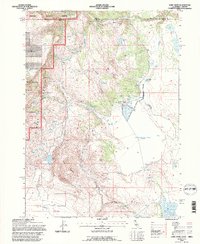
1993 Map of Lake Annie
USGS Topo · Published 1996About this map
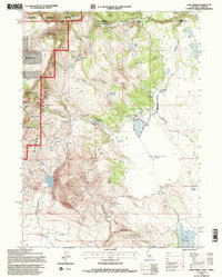
The Warner Mountains dominate this high-altitude borderland, where the state line divides the Fremont National Forest in Oregon from California’s Modoc National Forest. This 1993 revision reveals a landscape defined by seasonal water management and ranching, evidenced by the cluster of features at Scammons Arrowhead Ranch and the presence of numerous stock tanks and reservoirs like Ninemile Reservoir. The map illustrates the varied hydrology of the high desert basin, from the permanent waters of Lake Annie to the ephemeral bed of Cow Head Lake (Dry Lake).
Find a feature on this map
28 named features on this map. Tap any name to fly to it.
Don’t see what you’re looking for? This feature index may not catch every label — zoom into the map to look around manually.
Map Details
Editions of this 1993 Lake Annie Map
2 editions found
Other maps of this area

1886 · Alturas
USGS Topo · 1:250,000

1889 · Long Valley
USGS Topo · 1:250,000

1892 · Alturas
USGS Topo · 1:250,000

1954 · Vya
USGS Topo · 1:250,000

1954 · Alturas
USGS Topo · 1:250,000

1955 · Klamath Falls
USGS Topo · 1:250,000

1955 · Adel
USGS Topo · 1:250,000

1957 · Adel
USGS Topo · 1:250,000

1958 · Alturas
USGS Topo · 1:250,000

1958 · Klamath Falls
USGS Topo · 1:250,000