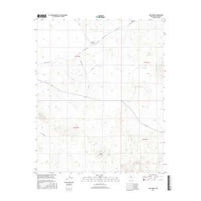
2017 Map of Lake Armijo
USGS Topo · Published 2017About this map
Lake Armijo and Jeremillas Lake anchor this arid Catron County landscape, where the ephemeral waters of Largo Cr and Nations Draw cross the high plateau. The terrain is defined by volcanic features and catchment points, including the prominent Eagle Peak and the nearby Eagle Tank. A network of rural arteries, such as Hubbell Rd and Catron Co Rd A034, provides access through the range lands of the New Mexico interior. This 2017 survey reflects the enduring character of the high desert, emphasizing the critical relationship between topography and water sources in a region where local names like Catron Co Rd A030 mark the paths between isolated landmarks.
Find a feature on this map
18 named features on this map. Tap any name to fly to it.
Don’t see what you’re looking for? This feature index may not catch every label — zoom into the map to look around manually.
Map Details
Editions of this 2017 Lake Armijo Map
This is the sole edition of this map. No revisions or reprints were ever made.
Other maps of this area

1954 · Saint Johns
USGS Topo · 1:250,000

1957 · Saint Johns
USGS Topo · 1:250,000

1958 · Saint Johns
USGS Topo · 1:250,000

1962 · Saint Johns
USGS Topo · 1:250,000

1972 · Zuni Salt Lake
USGS Topo · 1:24,000

1972 · Lake Armijo
USGS Topo · 1:24,000

1972 · Tejana Mesa
USGS Topo · 1:24,000
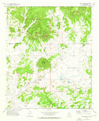
1972 · Cerro Prieto
USGS Topo · 1:24,000

1972 · Fence Lake SW
USGS Topo · 1:24,000

1972 · Blaines Lake
USGS Topo · 1:24,000