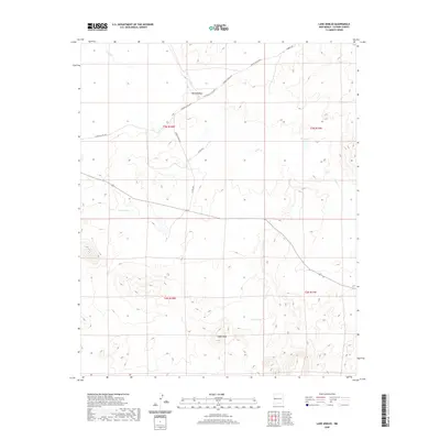
2020 Map of Lake Armijo
USGS Topo · Published 2020About this map
Lake Armijo and the surrounding high desert of Catron County characterize this remote New Mexico landscape as it appeared in the early 21st century. The terrain is defined by drainages like Nations Draw and the seasonal waters of Largo Cr, which flow through a sparsely populated region of the public land survey system. Local landmarks such as Eagle Peak provide significant vertical relief against the lower basins containing Jeremillas Lake and cattle-range improvements like Eagle Tank.
Find a feature on this map
17 named features on this map. Tap any name to fly to it.
Don’t see what you’re looking for? This feature index may not catch every label — zoom into the map to look around manually.
Map Details
Editions of this 2020 Lake Armijo Map
This is the sole edition of this map. No revisions or reprints were ever made.
Other maps of this area

1954 · Saint Johns
USGS Topo · 1:250,000

1957 · Saint Johns
USGS Topo · 1:250,000

1958 · Saint Johns
USGS Topo · 1:250,000

1962 · Saint Johns
USGS Topo · 1:250,000

1972 · Zuni Salt Lake
USGS Topo · 1:24,000

1972 · Lake Armijo
USGS Topo · 1:24,000

1972 · Tejana Mesa
USGS Topo · 1:24,000
1972 · Cerro Prieto
USGS Topo · 1:24,000

1972 · Fence Lake SW
USGS Topo · 1:24,000

1972 · Blaines Lake
USGS Topo · 1:24,000