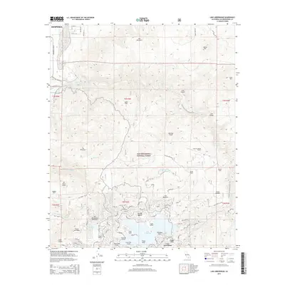
2015 Map of Lake Arrowhead
USGS Topo · Published 2015About this map
Lake Arrowhead serves as the centerpiece of this mountainous region within the San Bernardino National Forest. The map documents the residential and recreational development surrounding the water, detailing the established communities of North Shore, Village Point, and Cedar Glen. These lakeside settlements contrast with the higher elevations of the San Bernardino Mountains, which include prominent peaks such as Mt Marie Louise and the unique formation known as The Pinnacles.
Find a feature on this map
101 named features on this map. Tap any name to fly to it.
Don’t see what you’re looking for? This feature index may not catch every label — zoom into the map to look around manually.
Map Details
Editions of this 2015 Lake Arrowhead Map
This is the sole edition of this map. No revisions or reprints were ever made.
Other maps of this area

1896 · San Bernardino
USGS Topo · 1:62,500

1898 · San Bernardino
USGS Topo · 1:62,500

1899 · Redlands
USGS Topo · 1:62,500

1901 · Southern California Sheet No. 1
USGS Topo · 1:250,000

1901 · San Bernardino
USGS Topo · 1:62,500

1901 · Redlands
USGS Topo · 1:62,500

1902 · Deep Creek
USGS Topo · 1:62,500

1902 · Hesperia
USGS Topo · 1:62,500

1904 · Southern California Sheet No. 1
USGS Topo · 1:250,000

1936 · Arrowhead
USGS Topo · 1:31,680