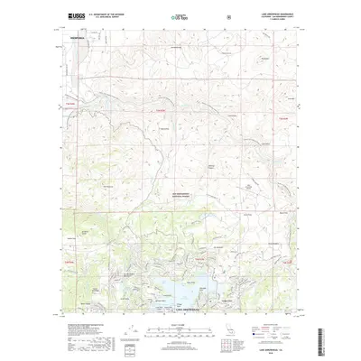
2018 Map of Lake Arrowhead
USGS Topo · Published 2018About this map
Lake Arrowhead and its complex network of bays and points dominate the southern portion of this San Bernardino County survey. The shoreline is densely subdivided with residential areas and docks, including North Bay, Tavern Bay, and Emerald Bay, while the village of Cedar Glen and Village Point serve as local hubs. To the north, the terrain transitions sharply into the San Bernardino National Forest, where the Pacific Crest National Scenic Trail winds through high-altitude canyons and flats. The northern reaches of the map include the southern edge of Hesperia and the high peaks of the Ord Mountains. Notable landmarks like the Lake Arrowhead Airport and The Pinnacles highlight the area's development as a mountain retreat and recreational destination.
Find a feature on this map
111 named features on this map. Tap any name to fly to it.
Don’t see what you’re looking for? This feature index may not catch every label — zoom into the map to look around manually.
Map Details
Editions of this 2018 Lake Arrowhead Map
This is the sole edition of this map. No revisions or reprints were ever made.
Other maps of this area

1896 · San Bernardino
USGS Topo · 1:62,500

1898 · San Bernardino
USGS Topo · 1:62,500

1899 · Redlands
USGS Topo · 1:62,500

1901 · Southern California Sheet No. 1
USGS Topo · 1:250,000

1901 · San Bernardino
USGS Topo · 1:62,500

1901 · Redlands
USGS Topo · 1:62,500

1902 · Deep Creek
USGS Topo · 1:62,500

1902 · Hesperia
USGS Topo · 1:62,500

1904 · Southern California Sheet No. 1
USGS Topo · 1:250,000

1936 · Arrowhead
USGS Topo · 1:31,680