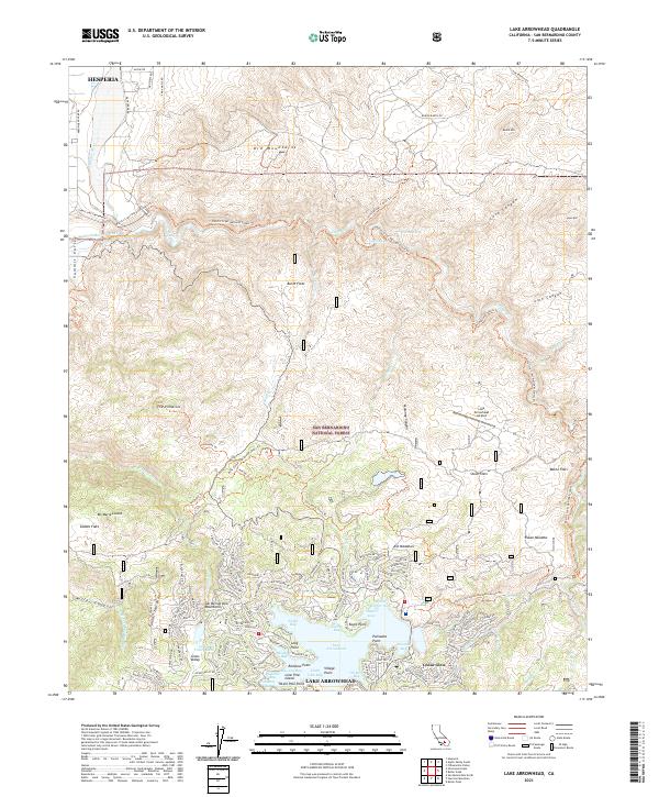
2021 Map of Lake Arrowhead
USGS Topo · Published 2021About this map
Lake Arrowhead serves as the central focal point of this mountainous landscape, surrounded by specialized bays and coves such as Tavern Bay, North Bay, and Emerald Bay. The residential and recreational character of the area is evident in the dense network of roads near Cedar Glen and the presence of the Yacht Club and Lake Arrowhead Airport. Beyond the developed shoreline, the San Bernardino National Forest dominates the terrain, featuring high peaks like Mt Marie Louise and the distinctive geological formation of The Pinnacles. Long-distance paths including the Pacific Crest National Scenic Trl and the North Shore National Recreation Trl cross the high country, following the drainage of the Deep Creek Wild and Scenic River. The map details a landscape where steep canyons like Maloney Canyon meet high-altitude meadows including Ash Meadows and Stove Flats.
Find a feature on this map
145 named features on this map. Tap any name to fly to it.
Don’t see what you’re looking for? This feature index may not catch every label — zoom into the map to look around manually.
Map Details
Editions of this 2021 Lake Arrowhead Map
This is the sole edition of this map. No revisions or reprints were ever made.
Other maps of this area

1896 · San Bernardino
USGS Topo · 1:62,500

1898 · San Bernardino
USGS Topo · 1:62,500

1899 · Redlands
USGS Topo · 1:62,500

1901 · Southern California Sheet No. 1
USGS Topo · 1:250,000

1901 · San Bernardino
USGS Topo · 1:62,500

1901 · Redlands
USGS Topo · 1:62,500

1902 · Deep Creek
USGS Topo · 1:62,500

1902 · Hesperia
USGS Topo · 1:62,500

1904 · Southern California Sheet No. 1
USGS Topo · 1:250,000

1936 · Arrowhead
USGS Topo · 1:31,680