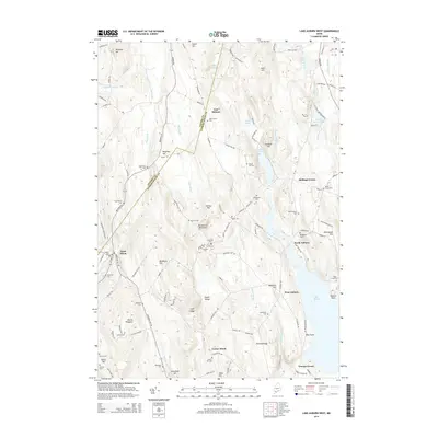
2014 Map of Lake Auburn West
USGS Topo · Published 2014About this map
East Hebron and North Auburn sit at the intersection of rural agriculture and the complex drainage of the Maine highlands. The landscape is defined by its numerous small-scale family and community landmarks, particularly the concentration of burying grounds such as Asa Bearce Cem, Dillingham Cem, and North Auburn Cem. These sites, often positioned on high ground like Dillingham Hill or near the margins of water bodies like The Basin, reveal the deep-rooted settlement patterns of Androscoggin Co and Oxford Co.
Find a feature on this map
124 named features on this map. Tap any name to fly to it.
Don’t see what you’re looking for? This feature index may not catch every label — zoom into the map to look around manually.
Map Details
Editions of this 2014 Lake Auburn West Map
This is the sole edition of this map. No revisions or reprints were ever made.
Other maps of this area

1908 · Poland
USGS Topo · 1:62,500

1908 · Lewiston
USGS Topo · 1:62,500

1910 · Livermore
USGS Topo · 1:62,500

1911 · Buckfield
USGS Topo · 1:62,500

1912 · Livermore
USGS Topo · 1:62,500

1913 · Buckfield
USGS Topo · 1:62,500

1940 · Poland
USGS Topo · 1:62,500

1941 · Livermore
USGS Topo · 1:62,500

1942 · Lewiston
USGS Topo · 1:62,500

1942 · Buckfield
USGS Topo · 1:62,500