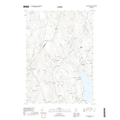
2018 Map of Lake Auburn West
USGS Topo · Published 2018About this map
North Auburn and the rural hills of Minot define this 2018 topographic survey, where family-named landmarks and small burial grounds pepper the landscape. The map covers a complex terrain of ridges like Perkins Ridge and Bradbury Hill, alongside narrow valleys like the ominously named Death Valley. Numerous small cemeteries, including Hilborn Cem, Riverside Cem, and the Asa Bearce Cem, provide a dense record of the area's early families and pioneer settlements. To the east, the waters of The Basin and Little Wilson Pond mark the transition toward the larger Auburn area. The intricate road network, featuring names such as Jackass Annie Rd and Hebron Station Rd, hints at a history tied to local stations and homesteads. This documentation captures the persistent rural character of Androscoggin Co and Oxford Co just before the 2020s.
Find a feature on this map
126 named features on this map. Tap any name to fly to it.
Don’t see what you’re looking for? This feature index may not catch every label — zoom into the map to look around manually.
Map Details
Editions of this 2018 Lake Auburn West Map
This is the sole edition of this map. No revisions or reprints were ever made.
Other maps of this area

1908 · Poland
USGS Topo · 1:62,500

1908 · Lewiston
USGS Topo · 1:62,500

1910 · Livermore
USGS Topo · 1:62,500

1911 · Buckfield
USGS Topo · 1:62,500

1912 · Livermore
USGS Topo · 1:62,500

1913 · Buckfield
USGS Topo · 1:62,500

1940 · Poland
USGS Topo · 1:62,500

1941 · Livermore
USGS Topo · 1:62,500

1942 · Lewiston
USGS Topo · 1:62,500

1942 · Buckfield
USGS Topo · 1:62,500