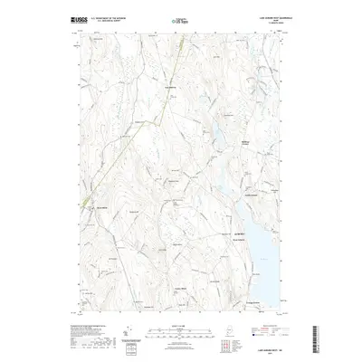
2021 Map of Lake Auburn West
USGS Topo · Published 2021About this map
North Auburn and the western reaches of Auburn meet the rural hills of Androscoggin County in this detailed landscape. The terrain is defined by a series of prominent ridges and peaks, including Woodward Mtn, Hersey Hill, and Brighton Hill, which separate the various brook valleys. Notable for its concentration of burial sites, the area includes the Scott Family Graveyard, Olde French Cem, and the Seiberling Witham Cem, providing valuable points of interest for genealogists tracing local families.
Find a feature on this map
136 named features on this map. Tap any name to fly to it.
Don’t see what you’re looking for? This feature index may not catch every label — zoom into the map to look around manually.
Map Details
Editions of this 2021 Lake Auburn West Map
This is the sole edition of this map. No revisions or reprints were ever made.
Other maps of this area

1908 · Poland
USGS Topo · 1:62,500

1908 · Lewiston
USGS Topo · 1:62,500

1910 · Livermore
USGS Topo · 1:62,500

1911 · Buckfield
USGS Topo · 1:62,500

1912 · Livermore
USGS Topo · 1:62,500

1913 · Buckfield
USGS Topo · 1:62,500

1940 · Poland
USGS Topo · 1:62,500

1941 · Livermore
USGS Topo · 1:62,500

1942 · Lewiston
USGS Topo · 1:62,500

1942 · Buckfield
USGS Topo · 1:62,500