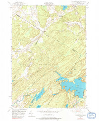
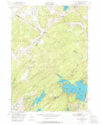
1951 Map of Lake Bonaparte
USGS Topo · Published 1991About this map
Camp Drum Military Reservation occupies a massive portion of this 1951 landscape, its boundary lines cutting across the rugged Adirondack transition zone. The settlement of Balmat and the waters of Sylvia Lake anchor the north, while the southern reaches are dominated by the intricate shoreline of Lake Bonaparte. This survey captures the region just as the 1950s began, illustrating the crossroads at Rices Corners and Kellogg Corners. The map details a complex hydrology where the Indian River and Indian Lake meet a series of smaller bodies like Narrow Lake and Mud Lake. Local history is preserved in the placement of a rural Cemetery and the remnants of the settlement at Alpina, located near the northern edge of the military reservation. The terrain is marked by distinct points like Bentons Point and Bullrock Point, which define the recreational and residential character of the larger lakes.
Find a feature on this map
40 named features on this map. Tap any name to fly to it.
Don’t see what you’re looking for? This feature index may not catch every label — zoom into the map to look around manually.
Map Details
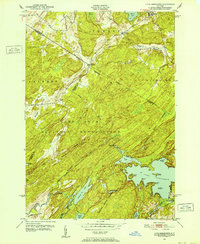
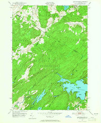
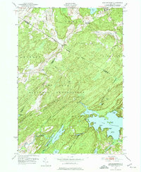
Editions of this 1951 Lake Bonaparte Map
5 editions found
Other maps of this area

1911 · Antwerp
USGS Topo · 1:62,500

1912 · Hammond
USGS Topo · 1:62,500

1913 · Lake Bonaparte
USGS Topo · 1:62,500

1915 · Gouverneur
USGS Topo · 1:62,500

1916 · Lake Bonaparte
USGS Topo · 1:62,500

1937 · Gouverneur
USGS Topo · 1:62,500

1944 · Hammond
USGS Topo · 1:62,500

1948 · Ogdensburg
USGS Topo · 1:250,000

1949 · Hammond
USGS Topo · 1:62,500

1949 · Antwerp
USGS Topo · 1:62,500