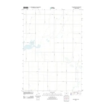
2012 Map of Lake Byron SE
USGS Topo · Published 2012About this map
Lake Byron dominates the western edge of this Beadle County landscape, serving as a primary hydrological focal point in an area defined by its systematic township and range organization. The terrain is structured by a precise grid of rural corridors, from 405th Ave in the west to 410th Ave in the east, which segment the agricultural prairie into uniform sections. In the southeastern portion of the quadrangle, the meandering path of Shue Cr contrasts sharply with the rigid geometry of the road network, which includes east-west routes ranging from 191st St down to 199th St. This 2012 survey illustrates a sparsely settled region where land use is dictated by the availability of water and the efficiency of the section-line road system, typical of the James River Valley's agricultural development in South Dakota.
Find a feature on this map
17 named features on this map. Tap any name to fly to it.
Don’t see what you’re looking for? This feature index may not catch every label — zoom into the map to look around manually.
Map Details
Editions of this 2012 Lake Byron SE Map
This is the sole edition of this map. No revisions or reprints were ever made.
Other maps of this area

1895 · Byron
USGS Topo · 1:125,000

1898 · Huron
USGS Topo · 1:125,000

1899 · De Smet
USGS Topo · 1:125,000

1953 · Huron
USGS Topo · 1:250,000

1953 · Watertown
USGS Topo · 1:250,000

1954 · Huron
USGS Topo · 1:250,000

1956 · Lake Byron NW
USGS Topo · 1:24,000

1956 · Lake Byron
USGS Topo · 1:24,000

1956 · Lake Byron SE
USGS Topo · 1:24,000

1958 · Watertown
USGS Topo · 1:250,000