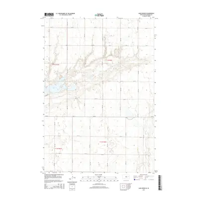
2015 Map of Lake Byron SE
USGS Topo · Published 2015About this map
Lake Byron dominates the northwestern landscape of this Beadle County region, its shoreline traced by S Shore Rd and surrounded by a network of sectional roads. The terrain is defined by the glacial depressions of the James River Valley, where intermittent drainage and small seasonal wetlands punctuate the agricultural grid. To the southeast, Shue Creek meanders through the prairie, providing a natural break in the orderly township lines of t113n r60w and t112n r60w. The map preserves the infrastructure of this rural community, from the primary corridor of CR-8 to the gravel routes like 196th St and 197th St, reflecting the persistent land-use patterns of South Dakota's eastern plains.
Find a feature on this map
23 named features on this map. Tap any name to fly to it.
Don’t see what you’re looking for? This feature index may not catch every label — zoom into the map to look around manually.
Map Details
Editions of this 2015 Lake Byron SE Map
This is the sole edition of this map. No revisions or reprints were ever made.
Other maps of this area

1895 · Byron
USGS Topo · 1:125,000

1898 · Huron
USGS Topo · 1:125,000

1899 · De Smet
USGS Topo · 1:125,000

1953 · Huron
USGS Topo · 1:250,000

1953 · Watertown
USGS Topo · 1:250,000

1954 · Huron
USGS Topo · 1:250,000

1956 · Lake Byron NW
USGS Topo · 1:24,000

1956 · Lake Byron
USGS Topo · 1:24,000

1956 · Lake Byron SE
USGS Topo · 1:24,000

1958 · Watertown
USGS Topo · 1:250,000