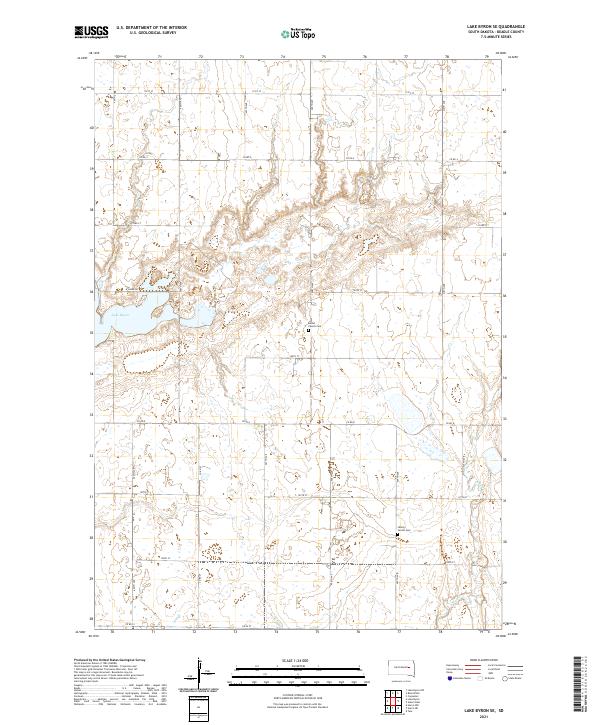
2021 Map of Lake Byron SE
USGS Topo · Published 2021About this map
Lake Byron dominates the western edge of this Beadle County landscape, serving as a primary hydrological focal point for the surrounding prairie. The terrain is defined by the gradual drainage toward Shue Cr in the southeast, reflecting a traditional South Dakota agricultural grid. This section of the James River Valley is anchored by small community centers that historically served as social anchors for rural families. Two such locations, Bethel Church Cem and Liberty Center Cem, mark the spiritual and genealogical history of the area's early settlers. The network of section line roads, including Co Rd 4, Co Rd 8, and Co Rd 12, establishes the rigid 19th-century land management patterns that persist into the modern era, connecting isolated farmsteads across the township lines of t113n r60w and t112n r60w.
Find a feature on this map
21 named features on this map. Tap any name to fly to it.
Don’t see what you’re looking for? This feature index may not catch every label — zoom into the map to look around manually.
Map Details
Editions of this 2021 Lake Byron SE Map
This is the sole edition of this map. No revisions or reprints were ever made.
Other maps of this area

1895 · Byron
USGS Topo · 1:125,000

1898 · Huron
USGS Topo · 1:125,000

1899 · De Smet
USGS Topo · 1:125,000

1953 · Huron
USGS Topo · 1:250,000

1953 · Watertown
USGS Topo · 1:250,000

1954 · Huron
USGS Topo · 1:250,000

1956 · Lake Byron NW
USGS Topo · 1:24,000

1956 · Lake Byron
USGS Topo · 1:24,000

1956 · Lake Byron SE
USGS Topo · 1:24,000

1958 · Watertown
USGS Topo · 1:250,000