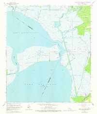
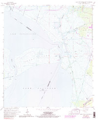
1966 Map of Lake Cataouatche East
USGS Topo · Published 1973About this map
Lake Cataouatche and Lake Salvador dominate this mid-century topographic portrait of the wet Louisiana lowlands along the border of Jefferson and St. Charles Parishes. The landscape is defined by an intricate network of engineered waterways and natural bayous, illustrating the era's intensive industrialization of the marsh. Extraction activities are prominent, with the Couba Island Oil Field and Bayou Villars Oil Field marked by numerous drill holes and specialized access canals like the Bayou Couba Oil Field Canal. Transport and drainage infrastructure is equally visible through the Avondale Outflow Canal and the critical Intragcoastal Waterway in the southeast corner. Despite the industrial footprint, local landmarks like Woods Place and various pumping stations hint at the persistent human management required to maintain these tidal wetlands.
Find a feature on this map
34 named features on this map. Tap any name to fly to it.
Don’t see what you’re looking for? This feature index may not catch every label — zoom into the map to look around manually.
Map Details
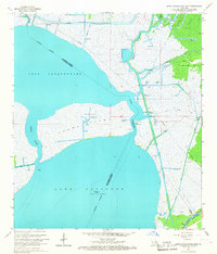
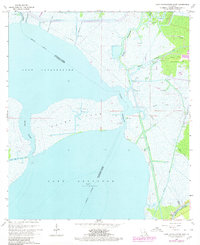
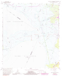
Editions of this 1966 Lake Cataouatche East Map
5 editions found
Other maps of this area

1891 · Hahnville
USGS Topo · 1:62,500

1891 · New Orleans
USGS Topo · 1:62,500

1892 · Barataria
USGS Topo · 1:62,500

1892 · Cut-Off
USGS Topo · 1:62,500

1932 · New Orleans NE
USGS Topo · 1:31,680

1932 · New Orleans NW
USGS Topo · 1:31,680

1932 · New Orleans SE
USGS Topo · 1:31,680

1932 · New Orleans SW
USGS Topo · 1:31,680

1932 · Hahnville NE
USGS Topo · 1:31,680

1935 · Luling
USGS Topo · 1:31,680