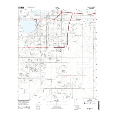
2015 Map of Lake Charles
USGS Topo · Published 2015About this map
Lake Charles sits at the heart of this coastal prairie landscape, its urban footprint defined by the looping Calcasieu River and the industrial corridors of Mallard Junction. The city's mid-century expansion is visible in the dense street grids of Goosport and Greinwich Village, while the southern reaches showcase the sprawling campus of McNeese State University. Tracing the local geography reveals a network of waterways including Bayou Contraband, Kayouche Coulee, and Coulee Hippolyte, which drain the low-lying terrain toward the Gulf. Genealogy researchers can find several significant burial grounds, from the centrally located Orange Grove Cemetery and Bilbo Cemetery to the peripheral Highland Cemetery and LeBleu Cemetery. Aviation history is well-represented by the large complex at Chennault International Airport and the southern Lake Charles Regional Airport, reflecting the area's importance as a regional transportation and industrial hub.
Find a feature on this map
50 named features on this map. Tap any name to fly to it.
Don’t see what you’re looking for? This feature index may not catch every label — zoom into the map to look around manually.
Map Details
Editions of this 2015 Lake Charles Map
This is the sole edition of this map. No revisions or reprints were ever made.
Other maps of this area

1932 · Lake Charles NE
USGS Topo · 1:31,680

1932 · Moss Lake
USGS Topo · 1:31,680

1932 · Lake Charles NW
USGS Topo · 1:31,680

1932 · Lake Charles SW
USGS Topo · 1:31,680

1932 · Lake Charles SE
USGS Topo · 1:31,680

1935 · Buhler
USGS Topo · 1:31,680

1935 · Moss Bluff
USGS Topo · 1:31,680

1942 · Lake Charles
USGS Topo · 1:62,500

1946 · Moss Lake
USGS Topo · 1:31,680

1947 · Moss Bluff
USGS Topo · 1:31,680
Featured Places
- Lake Charles, LA
- Westlake, LA
- Hipple, LA
- Greinwich Village, Lake Charles
- Pine Acres Trailer Park, Lake Charles