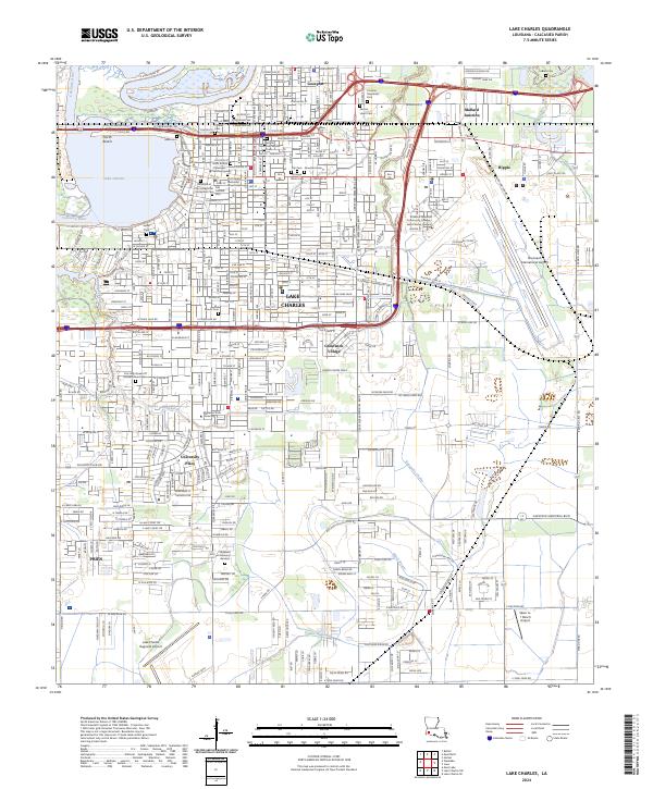
2024 Map of Lake Charles
USGS Topo · Published 2024About this map
Lake Charles and its winding watercourses define this industrial and educational hub in Calcasieu Parish. The landscape is marked by the Calcasieu River and Bayou Contraband, with the central city grid transitioning into specialized zones like the McNeese State University campus and the expansive Chennault International Airport. Local history is deeply etched into the terrain through a dense collection of burial grounds, including the City of Lake Charles Cem, the Cathedral of the Immaculate Conception Cem, and the Sallier Cem, which serve as permanent markers of the community's lineage.
Find a feature on this map
191 named features on this map. Tap any name to fly to it.
Don’t see what you’re looking for? This feature index may not catch every label — zoom into the map to look around manually.
Map Details
Editions of this 2024 Lake Charles Map
This is the sole edition of this map. No revisions or reprints were ever made.
Other maps of this area

1932 · Lake Charles NE
USGS Topo · 1:31,680

1932 · Moss Lake
USGS Topo · 1:31,680

1932 · Lake Charles NW
USGS Topo · 1:31,680

1932 · Lake Charles SW
USGS Topo · 1:31,680

1932 · Lake Charles SE
USGS Topo · 1:31,680

1935 · Buhler
USGS Topo · 1:31,680

1935 · Moss Bluff
USGS Topo · 1:31,680

1942 · Lake Charles
USGS Topo · 1:62,500

1946 · Moss Lake
USGS Topo · 1:31,680

1947 · Moss Bluff
USGS Topo · 1:31,680
Featured Places
- Lake Charles, LA
- Westlake, LA
- Hipple, LA
- Greinwich Village, Lake Charles
- Pine Acres Trailer Park, Lake Charles