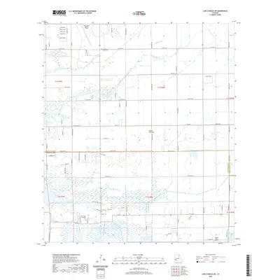
2020 Map of Lake Charles SW
USGS Topo · Published 2020About this map
Lake Charles Regional Airport serves as a prominent landmark in this coastal Louisiana landscape, situated north of the marshy transition into Cameron Parish. The map documents a territory defined by intricate drainage systems, where Black Bayou and Coulee Hippolyte wind through rural homesteads and agricultural tracts. A significant divide is marked by Parish Line Rd, separating the more developed northern sections from the low-lying wetlands to the south.
Find a feature on this map
46 named features on this map. Tap any name to fly to it.
Don’t see what you’re looking for? This feature index may not catch every label — zoom into the map to look around manually.
Map Details
Editions of this 2020 Lake Charles SW Map
This is the sole edition of this map. No revisions or reprints were ever made.
Other maps of this area

1932 · Lake Charles NE
USGS Topo · 1:31,680

1932 · Moss Lake
USGS Topo · 1:31,680

1932 · Lake Charles NW
USGS Topo · 1:31,680

1932 · Lake Charles SW
USGS Topo · 1:31,680

1932 · Lake Charles SE
USGS Topo · 1:31,680

1934 · Sweet Lake
USGS Topo · 1:24,000

1934 · Boudreaux Lake
USGS Topo · 1:24,000

1935 · Sweet Lake
USGS Topo · 1:31,680

1935 · Hackberry
USGS Topo · 1:31,680

1935 · Boudreaux Lake
USGS Topo · 1:31,680