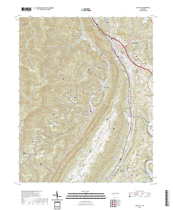
2022 Map of Lake City
USGS Topo · Published 2022About this map
Rocky Top and the coal-mining heritage of the northern Tennessee mountains anchor this survey of the Cumberland Plateau's eastern edge. The landscape is defined by the steep relief of Vowell Mtn and Walden Ridge, where narrow hollows like Disney Hollow and Longfield Hollow provided the primary corridors for development. The settlement pattern is deeply tied to the industrial and religious history of the region, evident in the numerous small communities such as Fraterville, Briceville, and Minersville.
Find a feature on this map
199 named features on this map. Tap any name to fly to it.
Don’t see what you’re looking for? This feature index may not catch every label — zoom into the map to look around manually.
Map Details
Editions of this 2022 Lake City Map
This is the sole edition of this map. No revisions or reprints were ever made.
Other maps of this area

1893 · Briceville
USGS Topo · 1:125,000

1895 · Briceville
USGS Topo · 1:125,000

1896 · Briceville
USGS Topo · 1:125,000

1936 · Block
USGS Topo · 1:24,000

1936 · Jacksboro
USGS Topo · 1:24,000

1936 · Duncan Flats
USGS Topo · 1:24,000

1936 · Windrock
USGS Topo · 1:24,000

1936 · La Follette
USGS Topo · 1:48,000

1936 · Norris Dam
USGS Topo · 1:48,000
1936 · Coal Creek
USGS Topo · 1:24,000