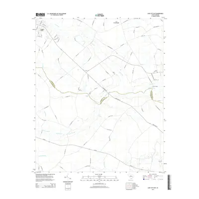
2014 Map of Lake City East
USGS Topo · Published 2014About this map
Lake City and the rural lands to its east are defined by an intricate network of waterways and swampy lowlands that straddle the boundary between Florence Co and Williamsburg Co. This 2014 survey reveals a landscape where development follows the higher ground between drainage systems like Lake Swamp, Singleton Swamp, and Smith Swamp. The map provides significant detail for local historians and genealogists, pinpointing numerous family-named landmarks and resting places such as Browns Chapel Cem, Jones Cem, and Lynch Cem.
Find a feature on this map
79 named features on this map. Tap any name to fly to it.
Don’t see what you’re looking for? This feature index may not catch every label — zoom into the map to look around manually.
Map Details
Editions of this 2014 Lake City East Map
This is the sole edition of this map. No revisions or reprints were ever made.
Other maps of this area

1946 · Hyman
USGS Topo · 1:62,500

1946 · Kingstree
USGS Topo · 1:62,500

1946 · Lake City
USGS Topo · 1:62,500

1946 · Indiantown
USGS Topo · 1:62,500

1949 · Georgetown
USGS Topo · 1:250,000

1967 · Georgetown
USGS Topo · 1:250,000

1974 · Georgetown
USGS Topo · 1:250,000

1986 · Kingstree
USGS Topo · 1:100,000
1990 · Scranton
USGS Topo · 1:24,000
1990 · Pamplico South
USGS Topo · 1:24,000
Featured Places
- Lake City, SC
- Wren Village, SC
- Martha Law Estates, Lake City
- Kelley Heights, Lake City
- Lee Crossroads, SC