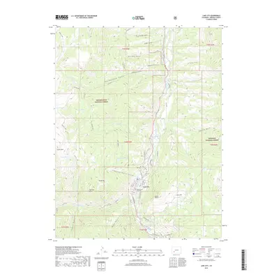
2019 Map of Lake City
USGS Topo · Published 2019About this map
Lake City serves as the focal point of this Hinsdale County landscape, where the confluence of Henson Cr and the Lake Fork river shapes the local geography. The town's civic character is anchored by the Hinsdale County Courthouse, while the community’s history is preserved at both the Old Cem and New Cem located along the riverbanks. The surrounding terrain is defined by the high-altitude divide between the Uncompahgre National Forest and the Gunnison National Forest. Natural landmarks like Sugarloaf Rock and Treasure Falls dot the drainages, while several alpine basins hold bodies of water such as Crystal Lake and Waterdog Lake. The intricate network of local streets, including Gunnison Ave and Silver St, reflects a settlement long-established within this steep mountain valley.
Find a feature on this map
67 named features on this map. Tap any name to fly to it.
Don’t see what you’re looking for? This feature index may not catch every label — zoom into the map to look around manually.
Map Details
Editions of this 2019 Lake City Map
This is the sole edition of this map. No revisions or reprints were ever made.
Other maps of this area

1903 · Lake City
USGS Topo · 1:62,500

1905 · Lake City
USGS Topo · 1:62,500

1905 · San Cristobal
USGS Topo · 1:125,000

1907 · San Cristobal
USGS Topo · 1:125,000

1908 · Uncompahgre
USGS Topo · 1:125,000

1911 · Uncompahgre
USGS Topo · 1:125,000

1945 · Durango
USGS Topo · 1:250,000

1953 · Durango
USGS Topo · 1:250,000

1954 · Durango
USGS Topo · 1:250,000

1956 · Montrose
USGS Topo · 1:250,000