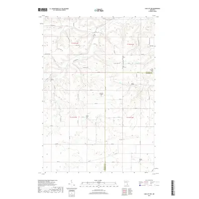
2019 Map of Lake City NW
USGS Topo · Published 2019About this map
Belvidere Union Cem and a concentration of denominational burying grounds define the rural character of this Goodhue County landscape. The terrain is deeply carved by watercourses like Wells Cr, Clear Cr, and Gilbert Cr, which feed into the broader Gilbert Valley. Small settlements such as Oak Ridge and West Florence represent the historical centers of community life in this agricultural region, while prominent landforms like Sugarloaf rise above the drainage of Sugarloaf Cr. For genealogists, the map is particularly rich, identifying specific sites such as the Old German Evangelical Cem, German Lutheran Cem, and the Cortes Private Cem. The intricate network of local roads, including Beecher Trl and Valley View Rd, follows the natural contours of the ridges and valleys between the townships.
Find a feature on this map
63 named features on this map. Tap any name to fly to it.
Don’t see what you’re looking for? This feature index may not catch every label — zoom into the map to look around manually.
Map Details
Editions of this 2019 Lake City NW Map
This is the sole edition of this map. No revisions or reprints were ever made.
Other maps of this area

1940 · Maiden Rock
USGS Topo · 1:62,500

1944 · Red Wing
USGS Topo · 1:62,500

1950 · Maiden Rock
USGS Topo · 1:62,500

1951 · Lake City
USGS Topo · 1:62,500

1952 · Red Wing
USGS Topo · 1:62,500

1953 · Saint Paul
USGS Topo · 1:250,000

1959 · Saint Paul
USGS Topo · 1:250,000

1968 · Goodhue East
USGS Topo · 1:24,000

1968 · Mazeppa
USGS Topo · 1:24,000
1974 · West Albany
USGS Topo · 1:24,000
Featured Places
- Belvidere Township, MN
- Hay Creek Township, MN
- Florence Township, MN
- Goodhue County, MN
- Wabasha County, MN