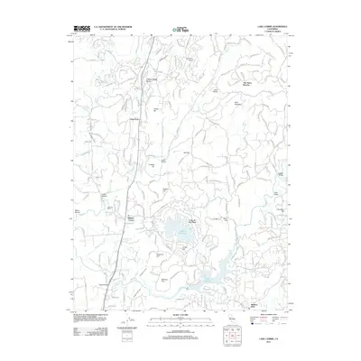
2012 Map of Lake Combie
USGS Topo · Published 2012About this map
Lake Combie and the residential community of Lake of the Pines anchor this 2012 survey of the Sierra Nevada foothills. The landscape is defined by its complex water management systems, including the Combie Ophir Canal, Kyler Ditch, and Stockton Hill Ditch, which trace the contours of the terrain alongside numerous named flats like La Mar Flat and McCarty Flat. The Bear River winds through the southern portion of the quadrangle, passing under the Gautier Bridge.
Find a feature on this map
170 named features on this map. Tap any name to fly to it.
Don’t see what you’re looking for? This feature index may not catch every label — zoom into the map to look around manually.
Map Details
Editions of this 2012 Lake Combie Map
This is the sole edition of this map. No revisions or reprints were ever made.
Other maps of this area

1888 · Smartsville
USGS Topo · 1:125,000

1891 · Sacramento
USGS Topo · 1:125,000

1891 · Colfax
USGS Topo · 1:125,000

1891 · Smartsville
USGS Topo · 1:125,000

1891 · Placerville
USGS Topo · 1:125,000

1892 · Sacramento
USGS Topo · 1:125,000

1892 · Placerville
USGS Topo · 1:125,000

1892 · Smartsville
USGS Topo · 1:125,000

1892 · Colfax
USGS Topo · 1:125,000

1893 · Placerville
USGS Topo · 1:125,000