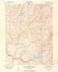
1950 Map of Lake Combie
USGS Topo · Published 1950About this map
The Probable Route of Donner Party cuts across this landscape, marking a historical corridor between Wolf Creek and the Bear River at the boundary of Nevada and Placer Counties. In the mid-twentieth century, this region remained a patchwork of small settlements and mining remnants. The Stockton Hill Mine sits nestled near Limekiln Sch, while rural hubs like Higgins Corner and Cottage Hill provided local focal points for the upland residents.
Find a feature on this map
40 named features on this map. Tap any name to fly to it.
Don’t see what you’re looking for? This feature index may not catch every label — zoom into the map to look around manually.
Map Details
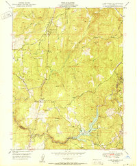
Editions of this 1950 Lake Combie Map
2 editions found
Other maps of this area

1888 · Smartsville
USGS Topo · 1:125,000

1891 · Sacramento
USGS Topo · 1:125,000

1891 · Colfax
USGS Topo · 1:125,000

1891 · Smartsville
USGS Topo · 1:125,000

1891 · Placerville
USGS Topo · 1:125,000

1892 · Sacramento
USGS Topo · 1:125,000

1892 · Placerville
USGS Topo · 1:125,000

1892 · Smartsville
USGS Topo · 1:125,000

1892 · Colfax
USGS Topo · 1:125,000

1893 · Placerville
USGS Topo · 1:125,000
Featured Places
- Higgins Corner, CA
- Sierra Knoll Estates, CA
- Cherry Creek Acres, CA
- Willaura Estates, CA
- Alta Sierra Estates, CA