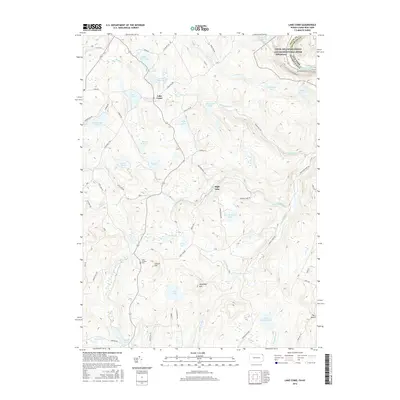
2016 Map of Lake Como
USGS Topo · Published 2016About this map
Lake Como and the surrounding highlands of the Upper Delaware region are characterized by a dense network of glacial lakes and winding watercourses at the New York and Pennsylvania border. The community of Dillontown sits near the Delaware River, where the protected Upper Delaware Scenic and Recreational River corridor preserves the character of this river valley. This geography is defined by its hydrology, where several branches of the W Br Dyberry Creek and Equinunk Creek originate among high elevations like Mansfield Hill.
Find a feature on this map
66 named features on this map. Tap any name to fly to it.
Don’t see what you’re looking for? This feature index may not catch every label — zoom into the map to look around manually.
Map Details
Editions of this 2016 Lake Como Map
This is the sole edition of this map. No revisions or reprints were ever made.
Other maps of this area

1892 · Honesdale
USGS Topo · 1:62,500

1920 · Long Eddy
USGS Topo · 1:62,500

1920 · Damascus
USGS Topo · 1:62,500

1921 · Long Eddy
USGS Topo · 1:48,000

1923 · Damascus
USGS Topo · 1:62,500

1923 · Long Eddy
USGS Topo · 1:62,500

1924 · Starrucca
USGS Topo · 1:48,000

1926 · Starrucca
USGS Topo · 1:62,500

1930 · Starrucca
USGS Topo · 1:48,000

1933 · Starrucca
USGS Topo · 1:62,500
Featured Places
- Hancock, NY
- Preston Township, PA
- Mount Pleasant Township, PA
- Buckingham Township, PA
- Manchester Township, PA