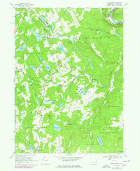
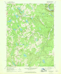
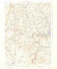
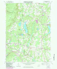
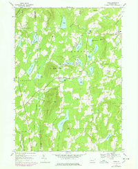
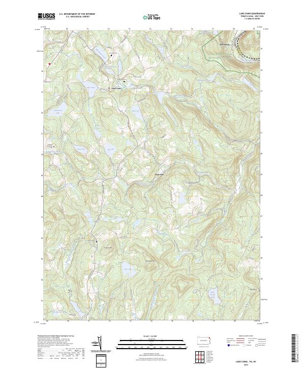
1968 Map of Lake Como
USGS Topo · Published 1978About this map
The northern edge of Wayne County and the winding course of the Delaware River define this map, which was updated with 1976 aerial photography to capture the evolving landscape. The small settlement of Dillontown sits near the river's edge, a focal point for local history at the Pennsylvania-New York border. Much of the area is characterized by numerous glacial ponds and lakes, including Lake Como, Underwood Lake, and Rock Lake, reflecting the glacial history of the Appalachian Plateau. The network of unimproved roads and light-duty paths connecting these water bodies suggests a pattern of seasonal recreation and small-scale homesteading common to this part of the Poconos region during the late twentieth century.
Find a feature on this map
1 named feature on this map. Tap any name to fly to it.
Don’t see what you’re looking for? This feature index may not catch every label — zoom into the map to look around manually.
Map Details
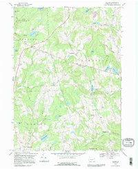
Editions of this 1968 Lake Como Map
2 editions found
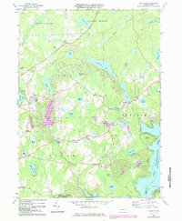
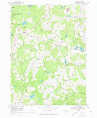
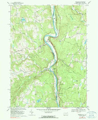
Historical Maps of Hancock Through Time
31 maps found

1920 Damascus
Wayne County, PA
1923 Damascus
Wayne County, PA
1928 Ariel
Wayne County, PA
1932 Ariel
Wayne County, PA

1944 Damascus
Wayne County, PA
1946 Aldenville
Wayne County, PA
1949 Aldenville
Wayne County, PA
1965 Sterling
Wayne County, PA
1966 Lake Ariel
Wayne County, PA
1966 Lakeville
Wayne County, PA
1967 Galilee
Wayne County, PA
1968 Damascus
Wayne County, PA
1968 Lake Como
Wayne County, PA
1968 Orson
Wayne County, PA
1992 Galilee
Wayne County, PA
1992 Lake Como
Wayne County, PA
1992 Orson
Wayne County, PA

1993 Damascus
Wayne County, PA
1994 Aldenville
Wayne County, PA

1994 Lake Ariel
Wayne County, PA

1994 Lakeville
Wayne County, PA

1994 Sterling
Wayne County, PA

1997 Sterling
Wayne County, PA
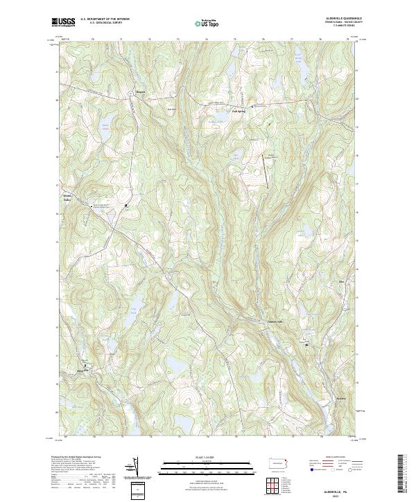
2023 Aldenville
Wayne County, PA
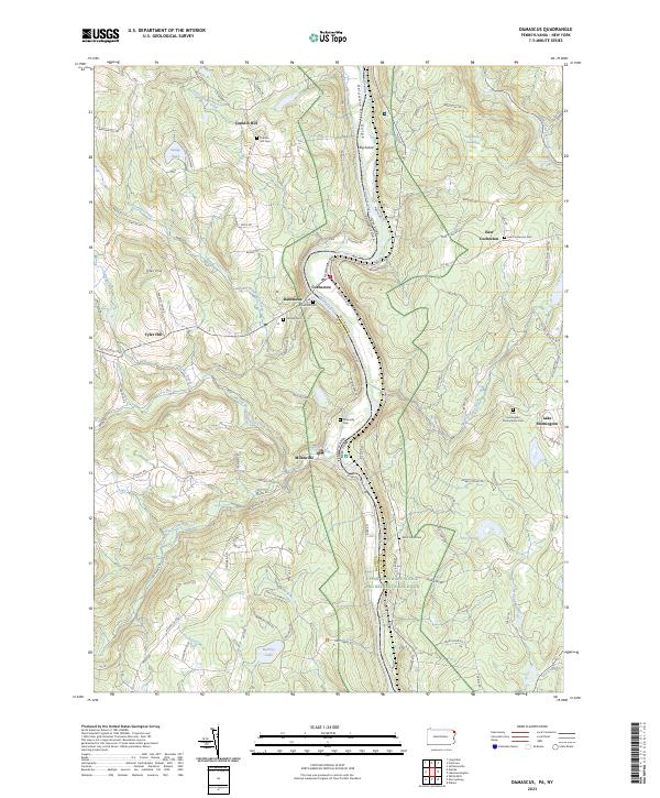
2023 Damascus
Wayne County, PA
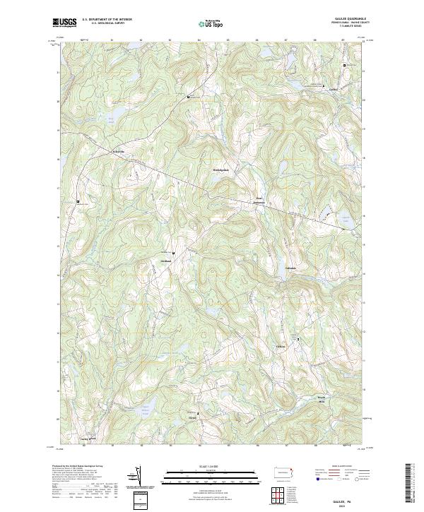
2023 Galilee
Wayne County, PA
2023 Lake Ariel
Wayne County, PA
2023 Lake Como
Wayne County, PA
2023 Lakeville
Wayne County, PA
2023 Orson
Wayne County, PA
2023 Sterling
Wayne County, PA
Featured Locations
- Preston Township, PA
- Buckingham Township, PA
- Manchester Township, PA
- Hancock, NY
- Rudes Corner, Mount Pleasant Township