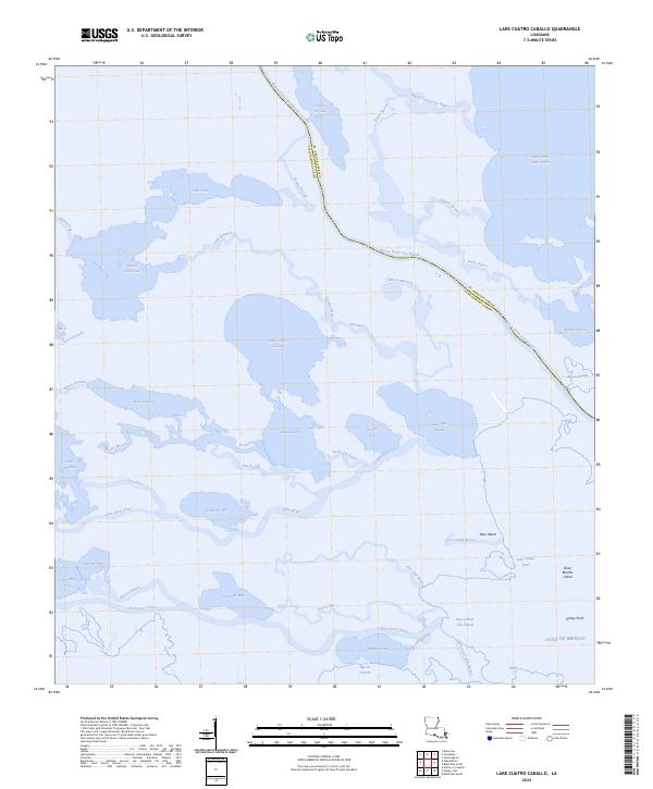
2024 Map of Lake Cuatro Caballo
USGS Topo · Published 2024About this map
The marshlands and aquatic labyrinths of St. Bernard and Plaquemines Parishes are defined by a shifting landscape of inlets and distributaries. Central to this area is Lake Cuatro Caballo, surrounded by a dense network of water bodies such as Round Lake and the long expanse of Bayou Terre Aux Boeufs. This terrain is a classic example of the active Mississippi River Delta region, where the distinction between land and water is constantly negotiated through features like Pintail Flat and Grassy Point.
Find a feature on this map
47 named features on this map. Tap any name to fly to it.
Don’t see what you’re looking for? This feature index may not catch every label — zoom into the map to look around manually.
Map Details
Editions of this 2024 Lake Cuatro Caballo Map
This is the sole edition of this map. No revisions or reprints were ever made.
Other maps of this area

1891 · Pointe a La Hache
USGS Topo · 1:62,500

1892 · St. Bernard
USGS Topo · 1:62,500

1892 · Pointe a La Hache
USGS Topo · 1:62,500

1893 · Shell Beach
USGS Topo · 1:62,500

1893 · Dime
USGS Topo · 1:62,500

1935 · Delacroix
USGS Topo · 1:31,680

1935 · Lake Calebasse
USGS Topo · 1:31,680

1935 · Lake Batola
USGS Topo · 1:31,680

1939 · Shell Beach
USGS Topo · 1:62,500

1939 · Pointe a La Hache
USGS Topo · 1:62,500