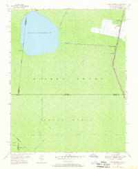
1954 Map of Lake Drummond
USGS Topo · Published 1969About this map
Lake Drummond sits at the heart of this landscape, its nearly circular shore surrounded by the dense hydrology of the Dismal Swamp. The map illustrates a complex network of engineered waterways, including the Dismal Swamp Canal and its associated Intracoastal Waterway, which facilitated regional commerce and transport. Long, straight drainage features such as Jericho Ditch, Feeder Ditch, and Portsmouth Ditch radiate from the lake, defining the surveyor's grid across the marshy terrain.
Find a feature on this map
24 named features on this map. Tap any name to fly to it.
Don’t see what you’re looking for? This feature index may not catch every label — zoom into the map to look around manually.
Map Details
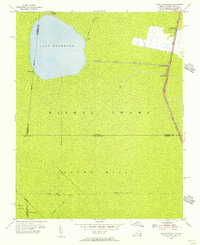
Editions of this 1954 Lake Drummond Map
2 editions found
Other maps of this area

1906 · Beckford
USGS Topo · 1:48,000

1907 · Beckford
USGS Topo · 1:62,500

1919 · Suffolk
USGS Topo · 1:62,500

1940 · Beckford
USGS Topo · 1:62,500

1940 · Lake Drummond
USGS Topo · 1:62,500

1940 · South Mills
USGS Topo · 1:62,500

1945 · Lake Drummond
USGS Topo · 1:62,500

1952 · South Mills
USGS Topo · 1:62,500

1953 · Norfolk
USGS Topo · 1:250,000

1954 · Corapeake
USGS Topo · 1:24,000