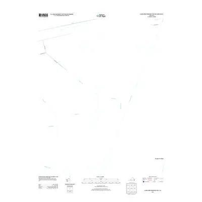
2013 Map of Lake Drummond NW
USGS Topo · Published 2013About this map
Washington Ditch and the long, linear reaches of Hudnell Ditch define this low-lying landscape within the Great Dismal Swamp region during the early twenty-first century. The map provides a unique look at the complex hydrological management of the area, where historical drainage efforts are represented by a network of engineered waterways such as Portsmouth Ditch, Middle Ditch, and Camp Ditch. While much of the terrain is characterized by these wetlands and drainage cuts, specific points of access and activity are noted at Douglas Landing and along Jericho Ditch Ln. This 2013 survey serves as a modern record of the swamp's interior geography, showing the intersection of local water management and early trails like Kentucky Trl before the natural environment continues its slow reclamation of these man-made features.
Find a feature on this map
13 named features on this map. Tap any name to fly to it.
Don’t see what you’re looking for? This feature index may not catch every label — zoom into the map to look around manually.
Map Details
Editions of this 2013 Lake Drummond NW Map
This is the sole edition of this map. No revisions or reprints were ever made.
Other maps of this area

1907 · Norfolk
USGS Topo · 1:125,000

1919 · Smithfield
USGS Topo · 1:62,500

1919 · Suffolk
USGS Topo · 1:62,500

1921 · Newport News
USGS Topo · 1:62,500

1940 · Lake Drummond
USGS Topo · 1:62,500

1944 · Norfolk South
USGS Topo · 1:25,000

1945 · Lake Drummond
USGS Topo · 1:62,500

1948 · Norfolk South
USGS Topo · 1:24,000

1949 · Chuckatuck
USGS Topo · 1:24,000
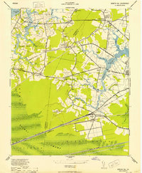
1952 · Bowers Hill
USGS Topo · 1:24,000