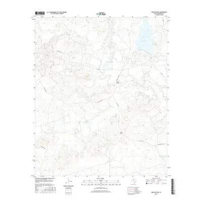
2016 Map of Lake Electra
USGS Topo · Published 2016About this map
Lake Electra dominates the northeastern corner of this Wilbarger County landscape, serving as a primary water source in a region defined by ranching infrastructure and seasonal drainage. The terrain is marked by a complex network of creeks, including Beaver Creek and Minnas Cr, which carve through the plains. The influence of large-scale landholdings is evident in features such as Waggoner Ranch Lake Number 2 and Waggoner Ranch Lake Number 3, alongside several stock tanks like Hegralle Tank and Peach Orchard Tank. Local landmarks like the Twin Peaks and Craig Bridge provide orientation within the network of rural roads such as Boosters Station Rd and Hereford Pens Rd, illustrating the intersection of natural topography and cattle industry operations in the early 21st century.
Find a feature on this map
21 named features on this map. Tap any name to fly to it.
Don’t see what you’re looking for? This feature index may not catch every label — zoom into the map to look around manually.
Map Details
Editions of this 2016 Lake Electra Map
This is the sole edition of this map. No revisions or reprints were ever made.
Other maps of this area

1916 · Electra
USGS Topo · 1:24,000

1917 · Beaver Creek
USGS Topo · 1:24,000

1918 · Electra
USGS Topo · 1:31,680

1920 · Beaver Creek
USGS Topo · 1:31,680

1954 · Wichita Falls
USGS Topo · 1:250,000

1955 · Lawton
USGS Topo · 1:250,000

1958 · Wichita Falls
USGS Topo · 1:250,000

1958 · Davidson
USGS Topo · 1:62,500

1958 · Electra
USGS Topo · 1:62,500

1966 · Franklin Bend
USGS Topo · 1:24,000