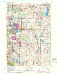
1967 Map of Lake Elmo
USGS Topo · Published 1986About this map
Washington County and Ramsey County boundaries divide this landscape as suburban expansion begins to reshape the area east of St. Paul. The Chicago and North Western railroad cuts across the northern terrain, passing through the established community of Lake Elmo. The 1972 revisions, highlighted in purple, reveal the rapid emergence of residential developments and institutions such as the Correctional Institution and the Archbishop Murray School.
Find a feature on this map
59 named features on this map. Tap any name to fly to it.
Don’t see what you’re looking for? This feature index may not catch every label — zoom into the map to look around manually.
Map Details
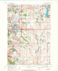
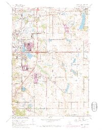
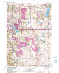
Editions of this 1967 Lake Elmo Map
4 editions found
Other maps of this area

1896 · St. Paul
USGS Topo · 1:62,500

1902 · White Bear
USGS Topo · 1:62,500

1946 · Hudson
USGS Topo · 1:62,500

1948 · Stillwater
USGS Topo · 1:62,500

1949 · Hudson
USGS Topo · 1:62,500

1949 · Stillwater
USGS Topo · 1:62,500

1949 · Lake Elmo
USGS Topo · 1:24,000

1949 · Hudson
USGS Topo · 1:24,000

1950 · Lake Elmo
USGS Topo · 1:24,000

1950 · Hudson
USGS Topo · 1:24,000