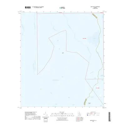
2018 Map of Lake Felicity
USGS Topo · Published 2018About this map
The expansive Gulf Of Mexico meets the intricate marshlands of Terrebonne and Lafourche parishes in this 2018 survey. The landscape is defined by its fluid boundaries, where the Lake Felicity basin serves as a central hub for a network of waterways including Bayou Pointe au Chien and Felicity Bayou. This coastal region illustrates the delicate balance of South Louisiana's wetlands, featuring prominent landforms like Grand Point and Felicity Island that remain emergent among the bays and lakes.
Find a feature on this map
32 named features on this map. Tap any name to fly to it.
Don’t see what you’re looking for? This feature index may not catch every label — zoom into the map to look around manually.
Map Details
Editions of this 2018 Lake Felicity Map
This is the sole edition of this map. No revisions or reprints were ever made.
Other maps of this area

1894 · Timbalier
USGS Topo · 1:62,500

1894 · Lake Felicity
USGS Topo · 1:62,500

1894 · Dulac
USGS Topo · 1:62,500

1935 · Bourbeux
USGS Topo · 1:31,680

1935 · Viguerie Canal
USGS Topo · 1:31,680

1935 · Montegut
USGS Topo · 1:31,680

1935 · Bay Courant
USGS Topo · 1:31,680

1935 · Golden Meadow
USGS Topo · 1:31,680

1935 · Pelican Pass
USGS Topo · 1:31,680

1939 · Lake Felicity
USGS Topo · 1:62,500