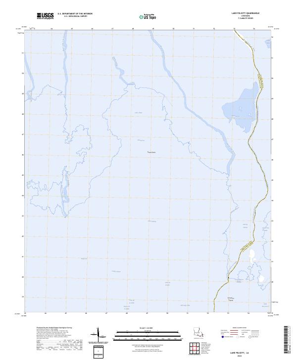
2024 Map of Lake Felicity
USGS Topo · Published 2024About this map
Lake Felicity and the surrounding marshlands of south Louisiana define this coastal landscape, where the boundary between Terrebonne Parish and Lafourche Parish winds through a complex network of waterways. The transition from open water to fragmented marsh is visible through features like Grand Point and Felicity Island, highlighting the fragile geography of the Gulf coast. Extensive bayous such as Bayou Pointe au Chien and Bayou Jean Lacroix serve as the primary arteries of the region, historically vital for navigation and local industry in the wetlands. Smaller bodies of water like Lake Chien, Lake Billiot, and Lake du Diable are interconnected by cuts and passes including Grand Cut and Coupe Creuse, illustrating the hydraulic patterns of this estuarine environment just north of Lake Raccourci.
Find a feature on this map
29 named features on this map. Tap any name to fly to it.
Don’t see what you’re looking for? This feature index may not catch every label — zoom into the map to look around manually.
Map Details
Editions of this 2024 Lake Felicity Map
This is the sole edition of this map. No revisions or reprints were ever made.
Other maps of this area

1894 · Timbalier
USGS Topo · 1:62,500

1894 · Lake Felicity
USGS Topo · 1:62,500

1894 · Dulac
USGS Topo · 1:62,500

1935 · Bourbeux
USGS Topo · 1:31,680

1935 · Viguerie Canal
USGS Topo · 1:31,680

1935 · Montegut
USGS Topo · 1:31,680

1935 · Bay Courant
USGS Topo · 1:31,680

1935 · Golden Meadow
USGS Topo · 1:31,680

1935 · Pelican Pass
USGS Topo · 1:31,680

1939 · Lake Felicity
USGS Topo · 1:62,500