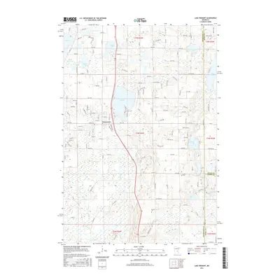
2016 Map of Lake Fremont
USGS Topo · Published 2016About this map
Lake Fremont and the surrounding wetland complex define this portion of Sherburne County, where the city of Zimmerman serves as the primary hub of human activity. This 2016 survey shows a landscape deeply intertwined with water, featuring a dense network of glacial lakes including Elk Lake, Goose Lake, and Stone Lake. The settlement pattern reflects a mix of modern residential growth and historical roots, with a local Post Office and several well-established burial sites like Livonia Cem and Whitney Cem situated among the various lake basins.
Find a feature on this map
138 named features on this map. Tap any name to fly to it.
Don’t see what you’re looking for? This feature index may not catch every label — zoom into the map to look around manually.
Map Details
Editions of this 2016 Lake Fremont Map
This is the sole edition of this map. No revisions or reprints were ever made.
Other maps of this area

1916 · St. Francis
USGS Topo · 1:62,500

1919 · St. Francis
USGS Topo · 1:62,500

1953 · Stillwater
USGS Topo · 1:250,000

1955 · Stillwater
USGS Topo · 1:250,000

1958 · Stillwater
USGS Topo · 1:250,000

1961 · Big Lake
USGS Topo · 1:24,000

1961 · Orrock
USGS Topo · 1:24,000

1961 · Lake Fremont
USGS Topo · 1:24,000

1961 · Elk River
USGS Topo · 1:24,000

1961 · Wyanett
USGS Topo · 1:24,000