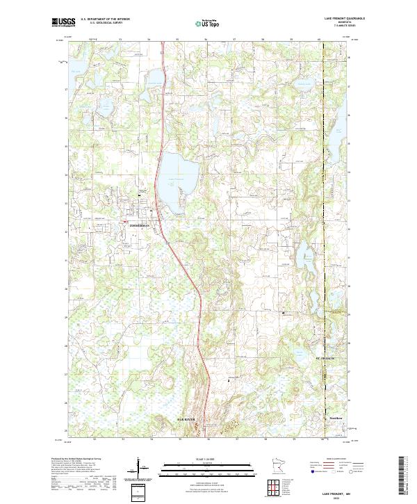
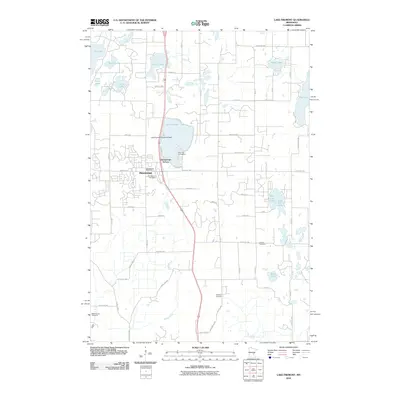
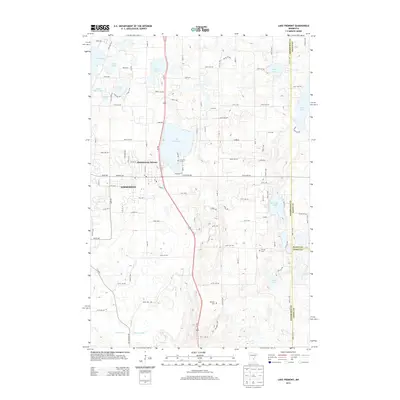
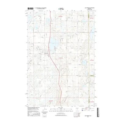
2022 Map of Lake Fremont
USGS Topo · Published 2022About this map
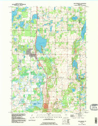
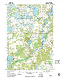
Lake Fremont anchors this section of Sherburne County, situated between the growing centers of Zimmerman and St. Francis. The landscape is defined by a dense network of glacial basins and water bodies, including West Hunter Lake, Stone Lake, and Elk Lake. For those tracking local history and genealogy, the map identifies several significant burial sites, such as the Saint Pius X Cem near Zimmerman and the Livonia Cem to the east. These locations, along with the Whitney Cem, provide critical touchstones for family research in this part of central Minnesota.
Find a feature on this map
81 named features on this map. Tap any name to fly to it.
Don’t see what you’re looking for? This feature index may not catch every label — zoom into the map to look around manually.
Map Details
Editions of this 2022 Lake Fremont Map
This is the sole edition of this map. No revisions or reprints were ever made.
Historical Maps of Elk River Through Time
20 maps found
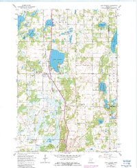
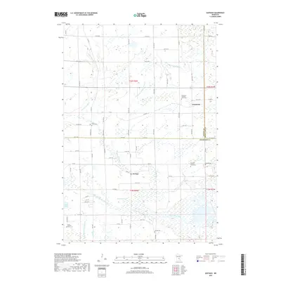
1961 Lake Fremont
Sherburne County, MN
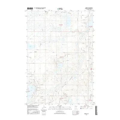
1961 Orrock
Sherburne County, MN
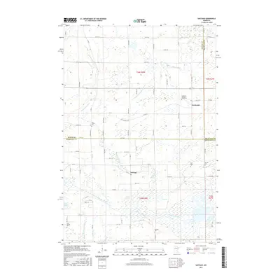
1968 Santiago
Sherburne County, MN
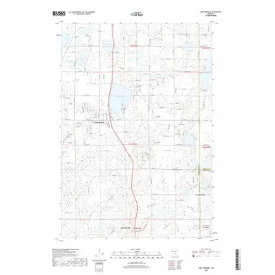
1991 Lake Fremont
Sherburne County, MN
1991 Orrock
Sherburne County, MN
2010 Lake Fremont
Sherburne County, MN
2010 Orrock
Sherburne County, MN
2010 Santiago
Sherburne County, MN
2013 Lake Fremont
Sherburne County, MN
2013 Orrock
Sherburne County, MN
2013 Santiago
Sherburne County, MN
2016 Lake Fremont
Sherburne County, MN
2016 Orrock
Sherburne County, MN
2016 Santiago
Sherburne County, MN
2019 Lake Fremont
Sherburne County, MN

2019 Orrock
Sherburne County, MN
2019 Santiago
Sherburne County, MN
2022 Lake Fremont
Sherburne County, MN
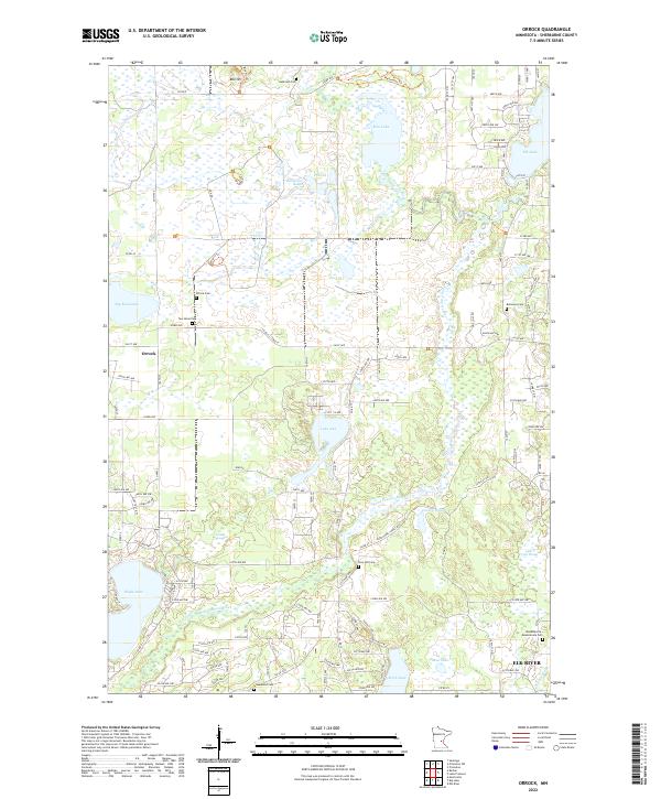
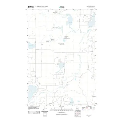
2022 Orrock
Sherburne County, MN
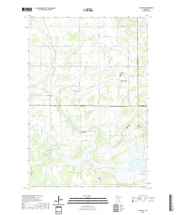
2022 Santiago
Sherburne County, MN