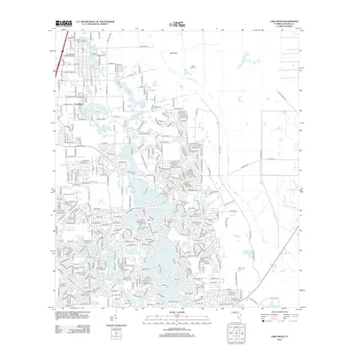
2012 Map of Lake Helen
USGS Topo · Published 2012About this map
Lake Helen and the community of Cassadaga anchor this Volusia County landscape, defined by a dense network of water bodies and mid-century residential expansion. The region's history is preserved in its several burial grounds, including the Prevatt Settlement Cem and the Lake Helen Cassadaga Cem, which sit near the northern lakes. The terrain is marked by numerous basins like Lake Macy, Lake Colby, and the sprawling Three Island Lakes.
Find a feature on this map
224 named features on this map. Tap any name to fly to it.
Don’t see what you’re looking for? This feature index may not catch every label — zoom into the map to look around manually.
Map Details
Editions of this 2012 Lake Helen Map
This is the sole edition of this map. No revisions or reprints were ever made.
Other maps of this area
1949 · Osceola
USGS Topo · 1:24,000
1952 · Samsula
USGS Topo · 1:24,000
1954 · Daytona Beach
USGS Topo · 1:250,000

1955 · Orlando
USGS Topo · 1:250,000

1957 · Orlando
USGS Topo · 1:250,000

1958 · Orlando
USGS Topo · 1:250,000
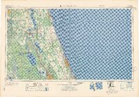
1958 · Daytona Beach
USGS Topo · 1:250,000
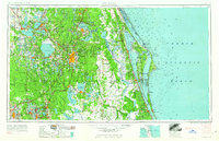
1962 · Orlando
USGS Topo · 1:250,000
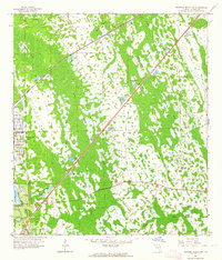
1962 · Daytona Beach SW
USGS Topo · 1:24,000
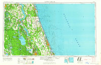
1964 · Daytona Beach
USGS Topo · 1:250,000