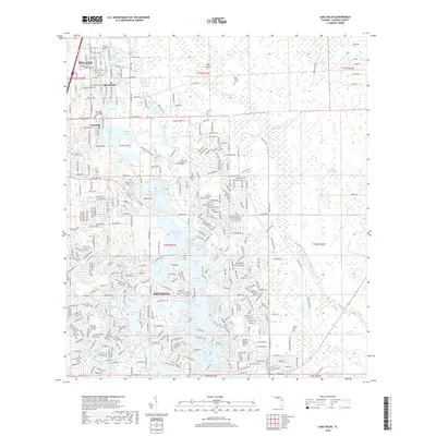
2018 Map of Lake Helen
USGS Topo · Published 2018About this map
Lake Helen and the spiritualist community of Cassadaga sit at the northern edge of this Florida landscape, defined by a dense network of freshwater lakes and wetlands. The terrain is characterized by the Lake Butler Chain and numerous smaller basins like Three Island Lakes, Lake Macy, and Lake Colby, reflecting the region's complex karst topography. Further south, the suburban expansion of Deltona contrasts with the more open areas near Osteen and the winding course of Deep Creek.
Find a feature on this map
267 named features on this map. Tap any name to fly to it.
Don’t see what you’re looking for? This feature index may not catch every label — zoom into the map to look around manually.
Map Details
Editions of this 2018 Lake Helen Map
This is the sole edition of this map. No revisions or reprints were ever made.
Other maps of this area
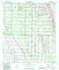
1949 · Osceola
USGS Topo · 1:24,000
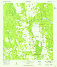
1952 · Samsula
USGS Topo · 1:24,000
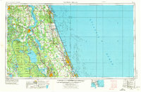
1954 · Daytona Beach
USGS Topo · 1:250,000

1955 · Orlando
USGS Topo · 1:250,000

1957 · Orlando
USGS Topo · 1:250,000

1958 · Orlando
USGS Topo · 1:250,000
1958 · Daytona Beach
USGS Topo · 1:250,000
1962 · Orlando
USGS Topo · 1:250,000
1962 · Daytona Beach SW
USGS Topo · 1:24,000
1964 · Daytona Beach
USGS Topo · 1:250,000