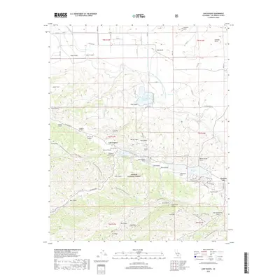
2018 Map of Lake Hughes
USGS Topo · Published 2018About this map
Lake Hughes and Elizabeth Lake occupy a dramatic rift valley defined by the San Andreas Fault, which cuts northwest through this portion of the Angeles National Forest. This 2018 survey reveals a landscape where critical water infrastructure and tectonic geology intersect. The Second Los Angeles Aqueduct and the Governor Edmund G Brown East Branch California Aqueduct are prominent features, feeding into the Fairmont Reservoir and passing through the subterranean Elizabeth Tunnel. This engineering feat contrasts with the natural topography of Portal Ridge and Sawmill Mtn. To the north, the terrain transitions into the high desert plains near Fairmont and Fairmont Butte, while the Pacific Crest National Scenic Trail winds through the southern ridges, providing a modern trace of the area's recreational geography.
Find a feature on this map
76 named features on this map. Tap any name to fly to it.
Don’t see what you’re looking for? This feature index may not catch every label — zoom into the map to look around manually.
Map Details
Editions of this 2018 Lake Hughes Map
This is the sole edition of this map. No revisions or reprints were ever made.
Other maps of this area

1903 · Tejon
USGS Topo · 1:125,000

1915 · Elizabeth Lake
USGS Topo · 1:125,000

1917 · Elizabeth Lake
USGS Topo · 1:125,000

1931 · Warm Spring
USGS Topo · 1:24,000

1931 · Little Buttes
USGS Topo · 1:24,000

1932 · Lake
USGS Topo · 1:24,000

1932 · Hughes Lake
USGS Topo · 1:24,000

1932 · Fairmont
USGS Topo · 1:24,000

1933 · Manzana
USGS Topo · 1:24,000

1934 · Little Buttes
USGS Topo · 1:24,000