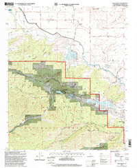
1995 Map of Lake Hughes
USGS Topo · Published 1999About this map
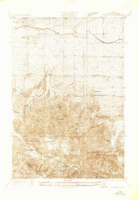
San Andreas Rift cuts a distinct northwest-to-southeast path through this portion of the Sierra Pelona Mountains, creating the basin for a string of sag ponds including Elizabeth Lake and Hughes Lake. The landscape transition is sharp, moving from the high, brush-covered peaks of Angeles National Forest and Sawmill Mountain down to the arid flats of the Antelope Valley. The northern reaches of the map show the infrastructure of the California Aqueduct and Fairmont Reservoir, which stand in contrast to the smaller local settlements like Edgewater Park and Andrade Corner.
Find a feature on this map
43 named features on this map. Tap any name to fly to it.
Don’t see what you’re looking for? This feature index may not catch every label — zoom into the map to look around manually.
Map Details
Editions of this 1995 Lake Hughes Map
This is the sole edition of this map. No revisions or reprints were ever made.
Other maps of this area

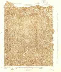
1903 · Tejon
USGS Topo · 1:125,000

1915 · Elizabeth Lake
USGS Topo · 1:125,000

1917 · Elizabeth Lake
USGS Topo · 1:125,000
1931 · Warm Spring
USGS Topo · 1:24,000
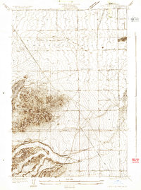
1931 · Little Buttes
USGS Topo · 1:24,000
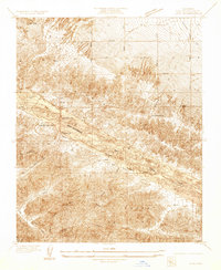
1932 · Lake
USGS Topo · 1:24,000
1932 · Hughes Lake
USGS Topo · 1:24,000
1932 · Fairmont
USGS Topo · 1:24,000
1933 · Manzana
USGS Topo · 1:24,000
1934 · Little Buttes
USGS Topo · 1:24,000