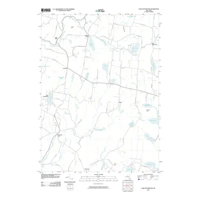
2010 Map of Lake Huntington
USGS Topo · Published 2010About this map
Lake Huntington serves as a central landmark in this Sullivan County landscape, where small hamlets and numerous water bodies define the rural character. The terrain is marked by prominent elevations like Fulton Hill and Birch Ridge, which overlook a network of tributary streams including Jaketown Creek and the Tenmile River. Historic community centers such as Cochecton Center, Kenoza Lake, and Fosterdale anchor the local road system, while the presence of Hurd Settlement suggests deep-rooted local lineages.
Find a feature on this map
88 named features on this map. Tap any name to fly to it.
Don’t see what you’re looking for? This feature index may not catch every label — zoom into the map to look around manually.
Map Details
Editions of this 2010 Lake Huntington Map
This is the sole edition of this map. No revisions or reprints were ever made.
Other maps of this area

1920 · Long Eddy
USGS Topo · 1:62,500

1920 · Damascus
USGS Topo · 1:62,500

1921 · Long Eddy
USGS Topo · 1:48,000

1921 · Livingston Manor
USGS Topo · 1:62,500

1922 · White Lake
USGS Topo · 1:62,500

1923 · Damascus
USGS Topo · 1:62,500

1923 · Long Eddy
USGS Topo · 1:62,500

1923 · Livingston Manor
USGS Topo · 1:62,500

1942 · White Lake
USGS Topo · 1:62,500

1943 · Honesdale
USGS Topo · 1:125,000