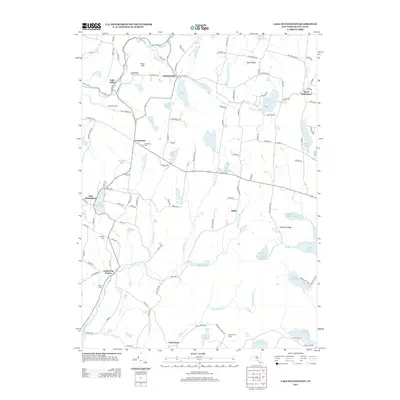
2013 Map of Lake Huntington
USGS Topo · Published 2013About this map
Falls Mills and the surrounding Sullivan County landscape are defined by a dense network of lakes and brooks that feed the Tenmile River system. The 2013 landscape preserves a mix of small agricultural footprints, such as Campanellis Poultry Farm and Johanson Farms, alongside historic crossroad communities. Small hamlets like Fosterdale, Cochecton Center, and the Hurd Settlement anchor the region's geography, connected by winding routes like the Newburgh Tpke. For genealogists and local historians, the placement of the Fosterdale Cem, Nearing Cem, and Laurel Cem offers a clear spatial record of the area's early family centers. The map also highlights the recreational character of the Catskills foothills, showing the Tenmile River Camps near Lake Nianque and the larger waters of Lake Huntington and Lake Superior.
Find a feature on this map
122 named features on this map. Tap any name to fly to it.
Don’t see what you’re looking for? This feature index may not catch every label — zoom into the map to look around manually.
Map Details
Editions of this 2013 Lake Huntington Map
This is the sole edition of this map. No revisions or reprints were ever made.
Other maps of this area

1920 · Long Eddy
USGS Topo · 1:62,500

1920 · Damascus
USGS Topo · 1:62,500

1921 · Long Eddy
USGS Topo · 1:48,000

1921 · Livingston Manor
USGS Topo · 1:62,500

1922 · White Lake
USGS Topo · 1:62,500

1923 · Damascus
USGS Topo · 1:62,500

1923 · Long Eddy
USGS Topo · 1:62,500

1923 · Livingston Manor
USGS Topo · 1:62,500

1942 · White Lake
USGS Topo · 1:62,500

1943 · Honesdale
USGS Topo · 1:125,000