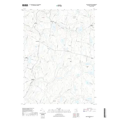
2019 Map of Lake Huntington
USGS Topo · Published 2019About this map
Fulton Hill and Birch Ridge overlook a landscape defined by an intricate network of water and early crossroads. This Sullivan County terrain is centered on the Tenmile River and its various tributaries, including Angel Mill Brook and Nebraska Brook. The map details the scattered distribution of small hamlets such as Kenoza Lake, Fosterdale, and Hurd Settlement, many of which grew around early milling sites or transport junctions. Genealogists will find several local burial grounds, such as Nearing Cem and Laurel Cem, located along the winding road network. To the east, the recreation-focused areas of Bethel and Lake Superior State Park demonstrate the shift from early settlement toward conservation and leisure, with Lake Superior and Indian Field Pond serving as primary hydrological features.
Find a feature on this map
110 named features on this map. Tap any name to fly to it.
Don’t see what you’re looking for? This feature index may not catch every label — zoom into the map to look around manually.
Map Details
Editions of this 2019 Lake Huntington Map
This is the sole edition of this map. No revisions or reprints were ever made.
Other maps of this area

1920 · Long Eddy
USGS Topo · 1:62,500

1920 · Damascus
USGS Topo · 1:62,500

1921 · Long Eddy
USGS Topo · 1:48,000

1921 · Livingston Manor
USGS Topo · 1:62,500

1922 · White Lake
USGS Topo · 1:62,500

1923 · Damascus
USGS Topo · 1:62,500

1923 · Long Eddy
USGS Topo · 1:62,500

1923 · Livingston Manor
USGS Topo · 1:62,500

1942 · White Lake
USGS Topo · 1:62,500

1943 · Honesdale
USGS Topo · 1:125,000