
1932 Map of Lake
USGS Topo · Published 1932About this map
The San Andreas Rift Zone dominates this 1930s landscape, slicing a clear geological path northwest to southeast through the Antelope Valley foothills. This tectonic depression creates a unique linear valley that anchors the local water system and settlement patterns, including the prominent Elizabeth Lake. Along this rift, early ranching and community life are evidenced by the Elizabeth Lake Sch and the Elizabeth Lake Ranch.
Find a feature on this map
29 named features on this map. Tap any name to fly to it.
Don’t see what you’re looking for? This feature index may not catch every label — zoom into the map to look around manually.
Map Details
Editions of this 1932 Lake Map
This is the sole edition of this map. No revisions or reprints were ever made.
Other maps of this area

1915 · Elizabeth Lake
USGS Topo · 1:125,000

1917 · Elizabeth Lake
USGS Topo · 1:125,000

1931 · Little Buttes
USGS Topo · 1:24,000

1931 · Del Sur
USGS Topo · 1:24,000

1931 · Esperanza School
USGS Topo · 1:24,000
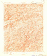
1932 · La Brun
USGS Topo · 1:24,000

1932 · Red Rover
USGS Topo · 1:24,000
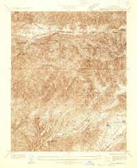
1932 · Mint Canyon
USGS Topo · 1:24,000

1932 · Hughes Lake
USGS Topo · 1:24,000

1932 · Fairmont
USGS Topo · 1:24,000