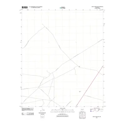
2010 Map of Lake Lucero NE
USGS Topo · Published 2010About this map
White Sands Missile Range dominates this landscape in southern New Mexico, where military infrastructure meets the preservation of the Tularosa Basin. The quadrangle captures a transition from the protected expanse of White Sands National Monument in the northwest to the active testing grounds of the range. The few human footprints in this arid environment are restricted to established corridors such as WSMR P Route 21 and various secondary access points. Historically significant sites like Bairds Ranch and local water resources such as Antelope Tank are documented, highlighting the rare points of ranching heritage and water management within the restricted military zone. This survey provides a look at the sparse network of routes, including WSMR S Route 284 and WSMR S Route 286, that crisscross this high-desert terrain.
Find a feature on this map
7 named features on this map. Tap any name to fly to it.
Don’t see what you’re looking for? This feature index may not catch every label — zoom into the map to look around manually.
Map Details
Editions of this 2010 Lake Lucero NE Map
This is the sole edition of this map. No revisions or reprints were ever made.
Other maps of this area

1916 · Point Of Sands
USGS Topo · 1:125,000

1947 · Point Of Sands 2
USGS Topo · 1:62,500

1947 · Lake Lucero
USGS Topo · 1:62,500

1948 · Tres Hermanos
USGS Topo · 1:62,500

1948 · Holloman
USGS Topo · 1:62,500

1948 · Lake Lucero
USGS Topo · 1:24,000

1948 · Lake Lucero SW
USGS Topo · 1:24,000

1948 · Lake Lucero SE
USGS Topo · 1:24,000
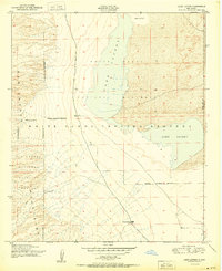
1950 · Lake Lucero
USGS Topo · 1:24,000
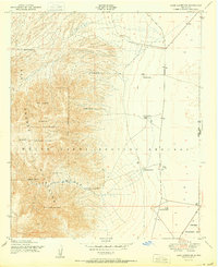
1950 · Lake Lucero SW
USGS Topo · 1:24,000