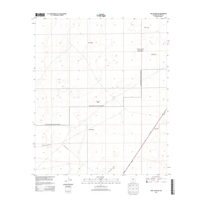
2013 Map of Lake Lucero NE
USGS Topo · Published 2013About this map
White Sands National Monument and the surrounding White Sands Missile Range dominate this desert landscape within the Tularosa Valley. The map shows a region defined by extensive dune fields and military restricted areas, where the stark white gypsum of the White Sands contrasts with the surrounding basin floor. Transportation across this arid corridor is limited to a few major arteries, specifically Us-70 E and Us-70 W, alongside specialized military access such as WSMR P Route 264. The 2013 survey data illustrates the overlap between public conservation and high-security military testing grounds, a hallmark of Otero County's modern land use. The fine contour intervals reveal the subtle topography of the dunefields that have long shaped the movement and development of this part of New Mexico.
Find a feature on this map
11 named features on this map. Tap any name to fly to it.
Don’t see what you’re looking for? This feature index may not catch every label — zoom into the map to look around manually.
Map Details
Editions of this 2013 Lake Lucero NE Map
This is the sole edition of this map. No revisions or reprints were ever made.
Other maps of this area

1916 · Point Of Sands
USGS Topo · 1:125,000

1947 · Point Of Sands 2
USGS Topo · 1:62,500

1947 · Lake Lucero
USGS Topo · 1:62,500

1948 · Tres Hermanos
USGS Topo · 1:62,500

1948 · Holloman
USGS Topo · 1:62,500

1948 · Lake Lucero
USGS Topo · 1:24,000

1948 · Lake Lucero SW
USGS Topo · 1:24,000

1948 · Lake Lucero SE
USGS Topo · 1:24,000
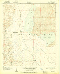
1950 · Lake Lucero
USGS Topo · 1:24,000
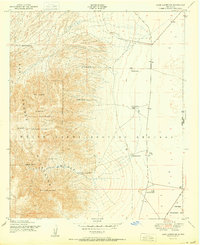
1950 · Lake Lucero SW
USGS Topo · 1:24,000