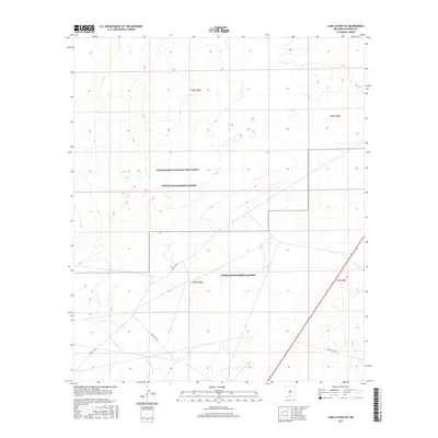
2017 Map of Lake Lucero NE
USGS Topo · Published 2017About this map
White Sands National Monument and the surrounding White Sands Missile Range define this arid landscape in Otero County. This 2017 survey documents the restricted-access terrain of the Tularosa Basin, where military infrastructure and conservation boundaries intersect. The map traces several specific service routes, including Wsmr P Rt 21, Wsmr S Rt 264, and Wsmr S Rt 266, which provide the primary transit network across these vast alkali flats and gypsum dunes. The scarcity of permanent settlements reflects the area's specialized use for federal research, defense testing, and natural preservation. These designations shape the land use patterns visible in the township and range divisions of t18s r6e and t19s r6e, showing a region where environmental extremes and national security requirements dictate the human footprint.
Find a feature on this map
9 named features on this map. Tap any name to fly to it.
Don’t see what you’re looking for? This feature index may not catch every label — zoom into the map to look around manually.
Map Details
Editions of this 2017 Lake Lucero NE Map
This is the sole edition of this map. No revisions or reprints were ever made.
Other maps of this area

1916 · Point Of Sands
USGS Topo · 1:125,000

1947 · Point Of Sands 2
USGS Topo · 1:62,500

1947 · Lake Lucero
USGS Topo · 1:62,500

1948 · Tres Hermanos
USGS Topo · 1:62,500

1948 · Holloman
USGS Topo · 1:62,500

1948 · Lake Lucero
USGS Topo · 1:24,000

1948 · Lake Lucero SW
USGS Topo · 1:24,000

1948 · Lake Lucero SE
USGS Topo · 1:24,000
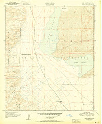
1950 · Lake Lucero
USGS Topo · 1:24,000
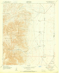
1950 · Lake Lucero SW
USGS Topo · 1:24,000