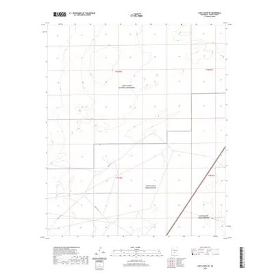
2020 Map of Lake Lucero NE
USGS Topo · Published 2020About this map
White Sands National Monument defines the upper portion of this landscape, where the distinct topography of gypsum dunes begins to give way to the more regulated lands of the White Sands Missile Range. This map illustrates the intersection of a protected natural wonder and a highly restricted military installation within the Tularosa Basin of Otero County. Service and patrol routes, including Wsmr P Rt 21 and Wsmr S Rt 264, cross the lower sections of the quadrangle, highlighting the infrastructure required to manage these extensive federal lands. The terrain is characterized by subtle contouring and isolated landforms typical of this arid region, providing a detailed record of the geography as it appeared in recent years.
Find a feature on this map
9 named features on this map. Tap any name to fly to it.
Don’t see what you’re looking for? This feature index may not catch every label — zoom into the map to look around manually.
Map Details
Editions of this 2020 Lake Lucero NE Map
This is the sole edition of this map. No revisions or reprints were ever made.
Other maps of this area

1916 · Point Of Sands
USGS Topo · 1:125,000

1947 · Point Of Sands 2
USGS Topo · 1:62,500

1947 · Lake Lucero
USGS Topo · 1:62,500

1948 · Tres Hermanos
USGS Topo · 1:62,500

1948 · Holloman
USGS Topo · 1:62,500

1948 · Lake Lucero
USGS Topo · 1:24,000

1948 · Lake Lucero SW
USGS Topo · 1:24,000

1948 · Lake Lucero SE
USGS Topo · 1:24,000
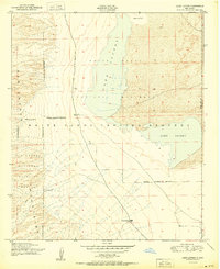
1950 · Lake Lucero
USGS Topo · 1:24,000
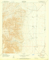
1950 · Lake Lucero SW
USGS Topo · 1:24,000