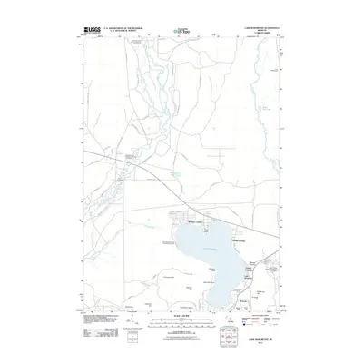
2011 Map of Lake Margrethe
USGS Topo · Published 2011About this map
Lake Margrethe serves as the focal point of this northern Michigan landscape, characterized by its complex network of recreational camps and significant military presence. Along the eastern shores, the established footprint of Camp Grayling and the United States Government Military Cemetery underscore the area's long-standing connection to defense training. Several distinct access points including McIntyre Landing, Danish Landing, and Collens Landing define the shoreline, while the surrounding terrain is marked by named elevations such as Thompson Hill and Mount Franklin. To the north and west, the headwaters and branches of the Manistee River and Au Sable River wind through state forest lands, supported by campgrounds like the Upper Manistee River State Forest Campground. This 2011 survey captures the intersection of public conservation, private seasonal residences, and military infrastructure in the Crawford and Kalkaska county borderlands.
Find a feature on this map
72 named features on this map. Tap any name to fly to it.
Don’t see what you’re looking for? This feature index may not catch every label — zoom into the map to look around manually.
Map Details
Editions of this 2011 Lake Margrethe Map
This is the sole edition of this map. No revisions or reprints were ever made.
Other maps of this area

1949 · Black Creek
USGS Topo · 1:24,000

1949 · Otsego Lake
USGS Topo · 1:62,500

1949 · Fletcher
USGS Topo · 1:62,500

1949 · Grayling
USGS Topo · 1:62,500

1950 · Cote Dame Marie
USGS Topo · 1:24,000

1950 · Fletcher
USGS Topo · 1:24,000

1950 · Lake Margrethe
USGS Topo · 1:24,000

1950 · Grayling
USGS Topo · 1:24,000

1951 · Big Bradford Lake
USGS Topo · 1:24,000

1951 · Grayling
USGS Topo · 1:24,000