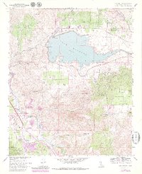
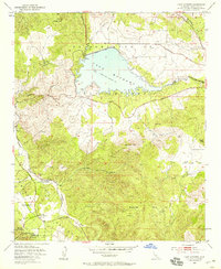
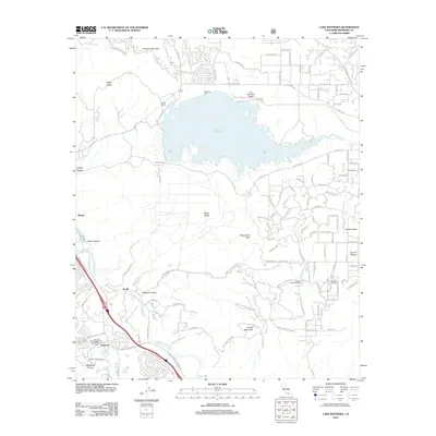
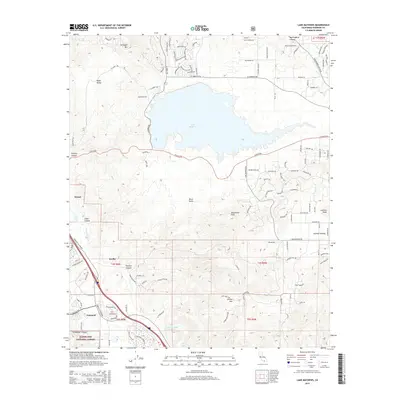
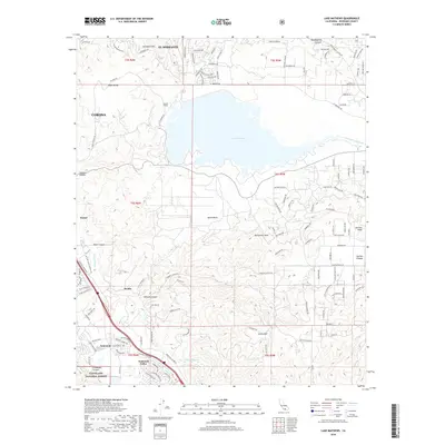
1967 Map of Lake Mathews
USGS Topo · Published 1979About this map
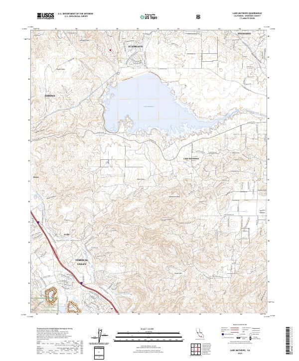
Lake Mathews dominates the northern landscape, its waters held by the Mathews Dam and a system of dikes that transformed this portion of the El Sobrante De San Jacinto land grant. This area serves as a critical infrastructure node, where the Colorado River Aqueduct terminates and the Atchison Topeka and Santa Fe railroad runs along the Temescal Wash. Evidence of early California history is anchored at the Site of the First House in Riverside County near Arcilla, alongside an Indian Pictographs Historical Marker. The terrain rises from the industrial floor of the valley, marked by a Gravel Pit and Quarry, toward the high peaks of Arlington Mtn and Estelle Mtn. To the southwest, the Cleveland Natl Forest provides a backdrop for the resort area at Glen Ivy Hot Springs.
Find a feature on this map
34 named features on this map. Tap any name to fly to it.
Don’t see what you’re looking for? This feature index may not catch every label — zoom into the map to look around manually.
Map Details
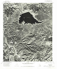
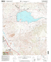
Editions of this 1967 Lake Mathews Map
5 editions found
Historical Maps of Corona Through Time
9 maps found
1953 Lake Mathews
Riverside County, CA
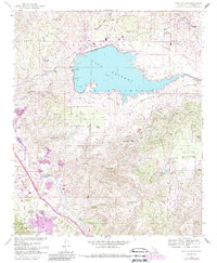
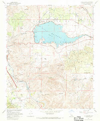
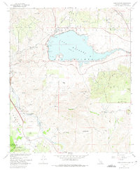
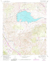
1967 Lake Mathews
Riverside County, CA
1974 Lake Mathews
Riverside County, CA
1997 Lake Mathews
Riverside County, CA
2012 Lake Mathews
Riverside County, CA
2015 Lake Mathews
Riverside County, CA
2018 Lake Mathews
Riverside County, CA
2021 Lake Mathews
Riverside County, CA
2023 Lake Mathews
Riverside County, CA