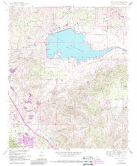
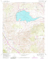
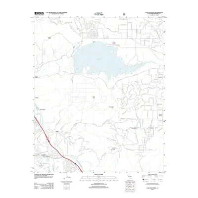
1967 Map of Lake Mathews
USGS Topo · Published 1988About this map
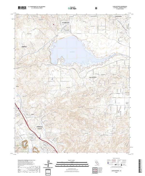
Lake Mathews dominates the northern half of this landscape, its waters contained by the Mathews Dam and linked to the massive Colorado River Aqueduct system. The map reveals a land of transition between engineered water infrastructure and preserved wilderness, with the Cleveland National Forest and Gavilan Plateau providing a stark contrast to the development near Cajalco Road. Local history is prominent through specific markers such as the Site of the First House in Riverside County and an Indian Pictographs Historical Marker located near Temescal Wash. The southern terrain is defined by prominent peaks like Estelle Mtn and Gavilan Peak, while the local economy is represented by the Cajalco Tin Mine and the resort character of Glen Ivy Hot Springs. This 1967 survey, updated with 1980s revisions, illustrates the complex intersection of early California history and mid-century water management.
Find a feature on this map
30 named features on this map. Tap any name to fly to it.
Don’t see what you’re looking for? This feature index may not catch every label — zoom into the map to look around manually.
Map Details
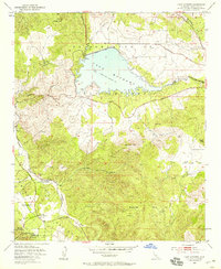
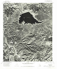
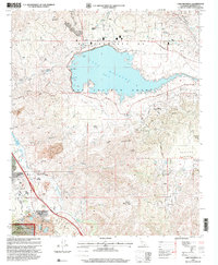
Editions of this 1967 Lake Mathews Map
5 editions found
Historical Maps of Corona Through Time
9 maps found
1953 Lake Mathews
Riverside County, CA
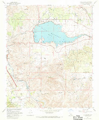
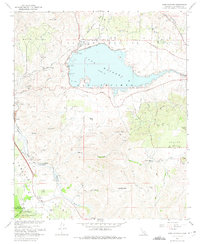
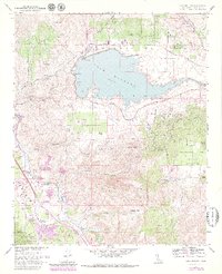
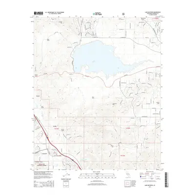
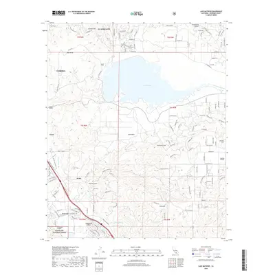
1967 Lake Mathews
Riverside County, CA
1974 Lake Mathews
Riverside County, CA
1997 Lake Mathews
Riverside County, CA
2012 Lake Mathews
Riverside County, CA
2015 Lake Mathews
Riverside County, CA
2018 Lake Mathews
Riverside County, CA
2021 Lake Mathews
Riverside County, CA
2023 Lake Mathews
Riverside County, CA