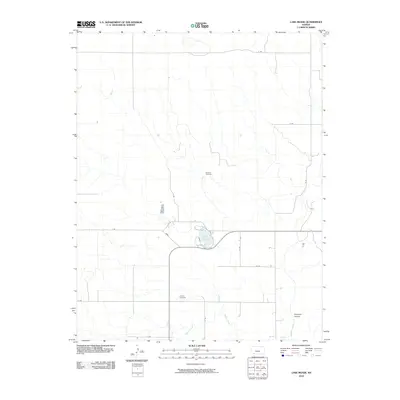
2010 Map of Lake Meade
USGS Topo · Published 2010About this map
Lake Meade serves as the central focal point of this western Kansas landscape, where the prairie is etched by a network of drainage ways and intermittent watercourses. The hydrology of the area is defined by Shorts Creek and the winding path of Crooked Creek, which are joined by local topographic features like Stumpie Arroyo and Skunkie Arroyo. These arroyos indicate the episodic nature of water flow across the High Plains, carving distinct relief into the otherwise steady elevation.
Find a feature on this map
18 named features on this map. Tap any name to fly to it.
Don’t see what you’re looking for? This feature index may not catch every label — zoom into the map to look around manually.
Map Details
Editions of this 2010 Lake Meade Map
This is the sole edition of this map. No revisions or reprints were ever made.
Other maps of this area

1892 · Meade
USGS Topo · 1:125,000

1955 · Dodge City
USGS Topo · 1:250,000

1958 · Dodge City
USGS Topo · 1:250,000

1959 · Dodge City
USGS Topo · 1:250,000

1962 · Irish Flats NE
USGS Topo · 1:24,000

1962 · Irish Flats SE
USGS Topo · 1:24,000

1963 · Plains
USGS Topo · 1:24,000

1963 · Kismet SE
USGS Topo · 1:24,000

1963 · Kismet NE
USGS Topo · 1:24,000

1963 · Lake Larrabee
USGS Topo · 1:24,000